 |
 |
 |
 |
 |
|
|
|
|
|
|
Stream via PATREON or CLICK BELOW TO PURCHASE.
DVD: How to Fly Fish with a Spinning Rod
DVD: Trout Streams of the Tetons
DVD: Trout Streams of Michigan, U.P. West
DVD: Trout Streams of North Carolina, West
DVD: Trout Streams of Virginia
DVD: Trout Streams of Southwest Wisconsin, North
Send Email to: CoppersmithStudios@gmail.com
 Coppersmith Studios Presents
 |
WATCH BASIN CREEK Basin Creek is a small trout stream in Central California. It is tributary to the NF Toulumne River. Access to it is from the US Forest Service River Ranch CG. A small number of trout are stocked during the spring but not many people fish for them and so the trout tend to last into the fall. It is said there are naturally reproducing brown trout present but most of the wild fish here are probably rainbows. Basin Creek is not a long stream an its publicly fishable section is cut shorter by private property. |
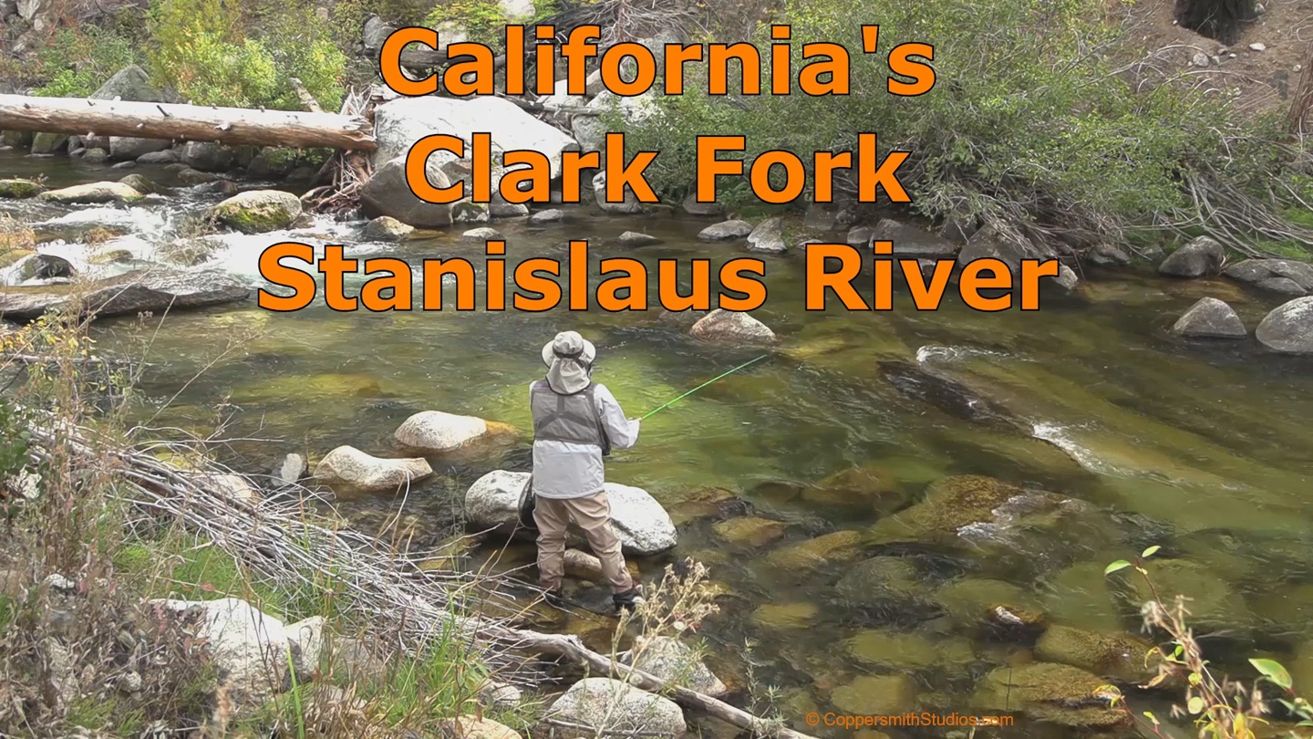 |
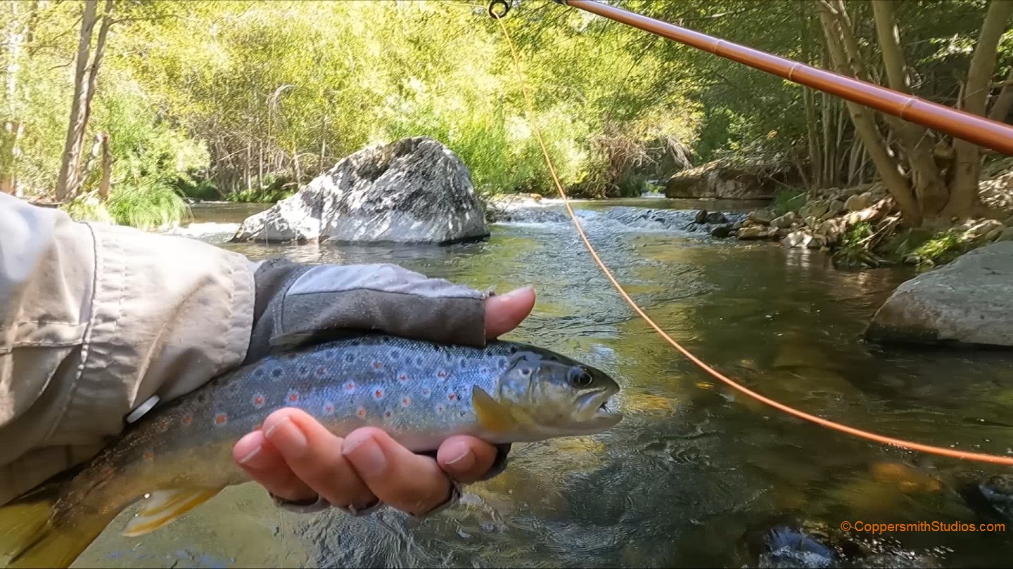
WATCH CLARK FORK STANISLAUS RIVER The Clark Fork of the Stanislaus River offers about 15 miles of trout fishing opportunities as it flows thru the Stanislaus National Forest, eventually joining the Middle Fork Stanislaus River. For the first 9 miles a paved road runs nearby making access easy. There are a couple campgrounds nearby and the stream gets a good stocking of rainbow and brown trout during the summer. A road follows the stream up to Iceberg Meadows and from there a trail follows the Clark Fork for about 6 more miles to Clark Fork Meadows. This is in the Carson Iceberg Wilderness and the stream there has wild rainbows. |
 |
WATCH MIDDLE FORK STANISLAUS RVR, LOWER The Stanislaus watershed in central California has a lot of trout fishing opportunities. It is said the best area for large, wild trout would be the lower portion of the Middle Fork Stanislaus River. That section begins downstream of Beardsley Lake and permits fishing with artificial flies and lures only. The best access is at the USFS Sandbar Flat campground. I should warn you the drive there is thru a long, twisting and confusing forest road. It is not easy to find. There is a trail running a few miles upstream. |
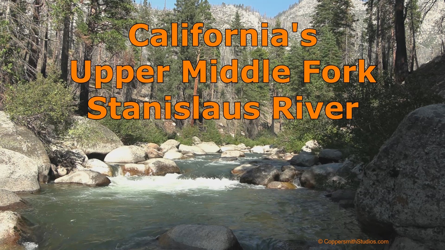 |
WATCH MIDDLE FORK STANISLAUS RVR, UPPER The upper portion of the Middle Fork Stanislaus River is that area upstream of Donnell Lake up to where it begins at the confluence of Summit and Kennedy Creeks in the Stanislaus National Forest. Of those 16 miles, there are 10 miles that are heavily stocked and relatively easy to access from Hwy 108. This is the area shown here. |
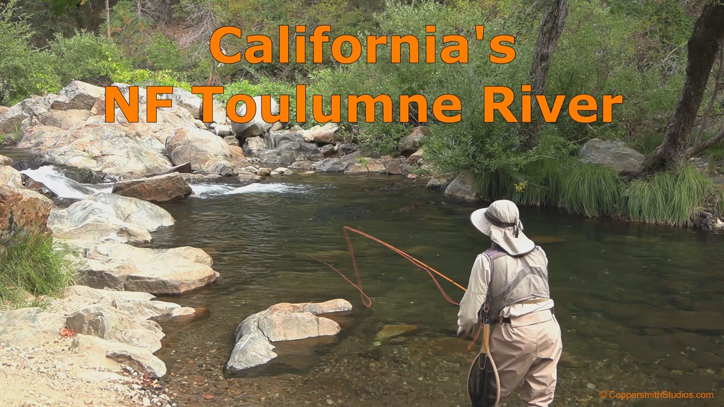 |
WATCH NF TOULUMNE RIVER, CA The North Fork Toulumne River flows thru central California in the Stanislaus National Forest offing fishing for mostly rainbow trout with some browns also present. This area is only 6 miles from Toulumne City yet it does not seem to get much fishing pressure. The best access is at River Ranch CG. Above Basin Creek the stream is fairy small but still offers enough room for fly casting. Below Basin Creek it is noticeably larger. The North Fork Toulumne is stocked with over 2000 trout in the spring. |
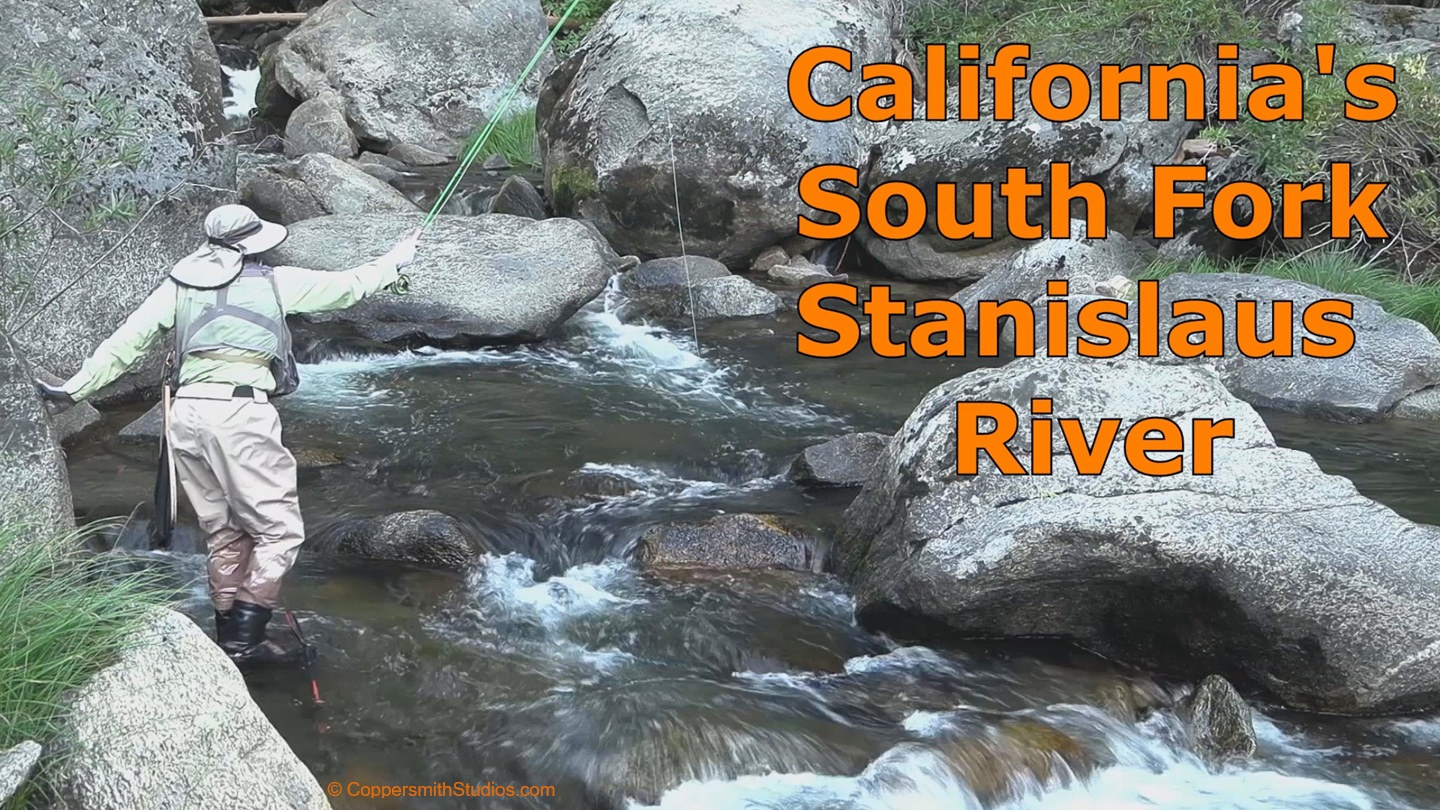 |
WATCH SOUTH FORK STANISLAUS RIVER This part of the South Fork Stanislaus River runs past the Fraser Flat campground where it is heavily stocked in the Stanislaus NF of central California. Below the campground it runs thru a canyon section and is followed by a 4WD road but is not easy to reach. If the season is late and the stocked fish are all caught you might want to try in the canyon section downstream, if you can find a route into it. |
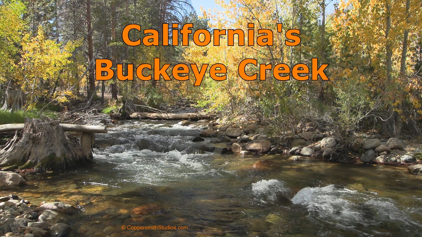 |
WATCH BUCKEYE CREEK Buckeye Creek offers about 15 miles of trout fishing in California's Eastern Sierras. There is a campground in the lower section and the 2 miles below the campground are stocked regularly. A hiking trail follows Buckeye into the Toiyabe National Forest up to its source where wild brown and rainbow trout are said to be plentiful. Even during the low flows of October, Buckeye has a strong current, but there are still plenty of pools where the water is calm enough to hold a fish. |
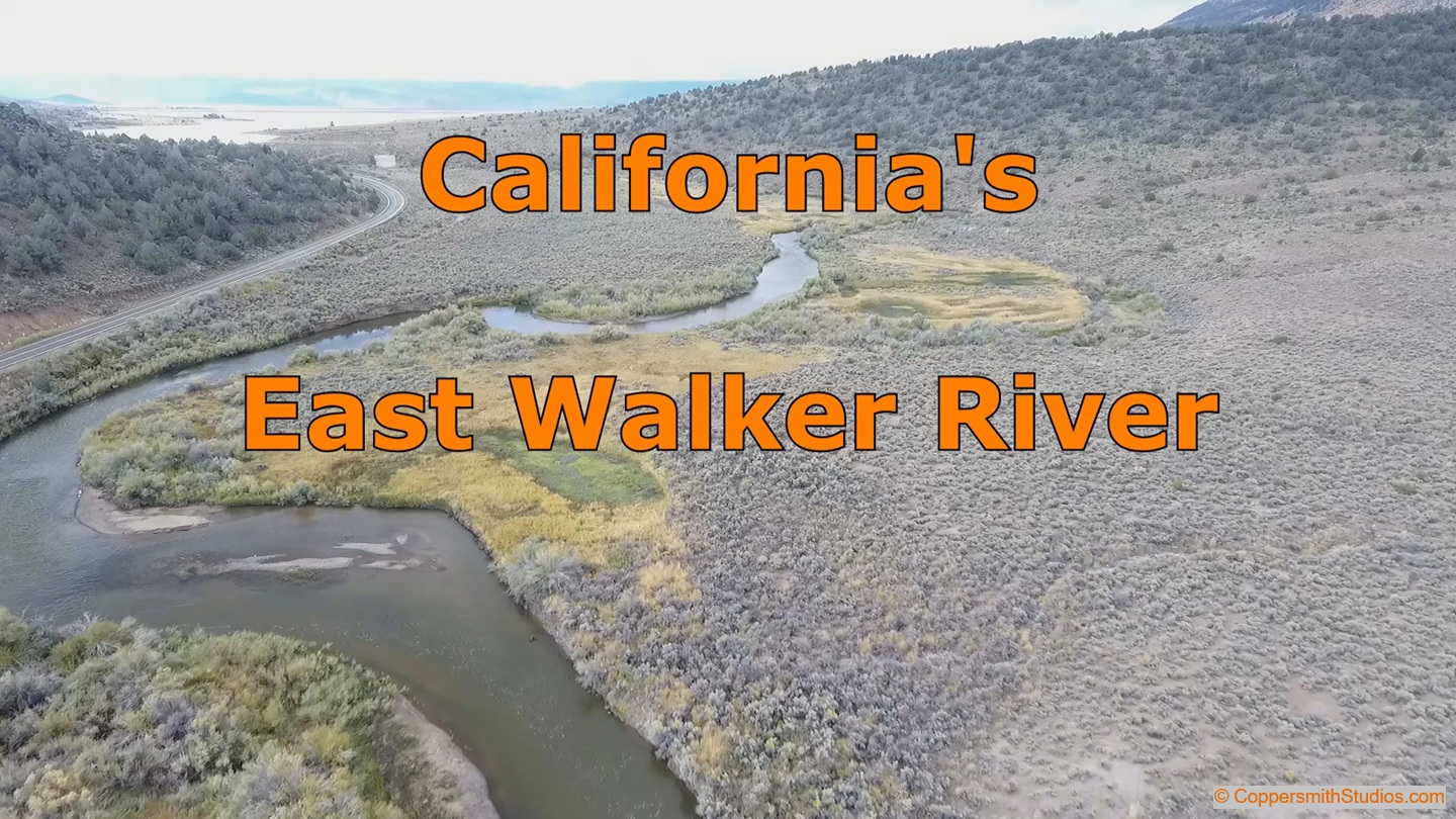 |
WATCH EAST WALKER RIVER The East Walker River offers 8 miles of public fishing in central California with Hwy 182 running nearby. It is a tailwater fishery and is said to be one of California's top trout streams, especially the Miracle Mile section directly below the reservoir where large brown trout can be caught. However, in my experience I found the Miracle Mile to be overcrowded and the rest of the stream to be surrounded with impenetrable vegetation. The stream might be of interest to the trophy trout hunter but for most other anglers I would advise to fish elsewhere. |
|
|
WATCH GREEN CREEK Green Creek offers about 7 miles of trout fishing as it flows thru the national forests of Mono County in California's Eastern Sierra Mountains. There are a variety of fishing conditions and environments on Green Creek, but throughout there are always trout and always some outstanding scenery. There are lower meadow section that are full of spookish brown trout. Further upstream rainbows become common and in the headwaters are brook trout. |
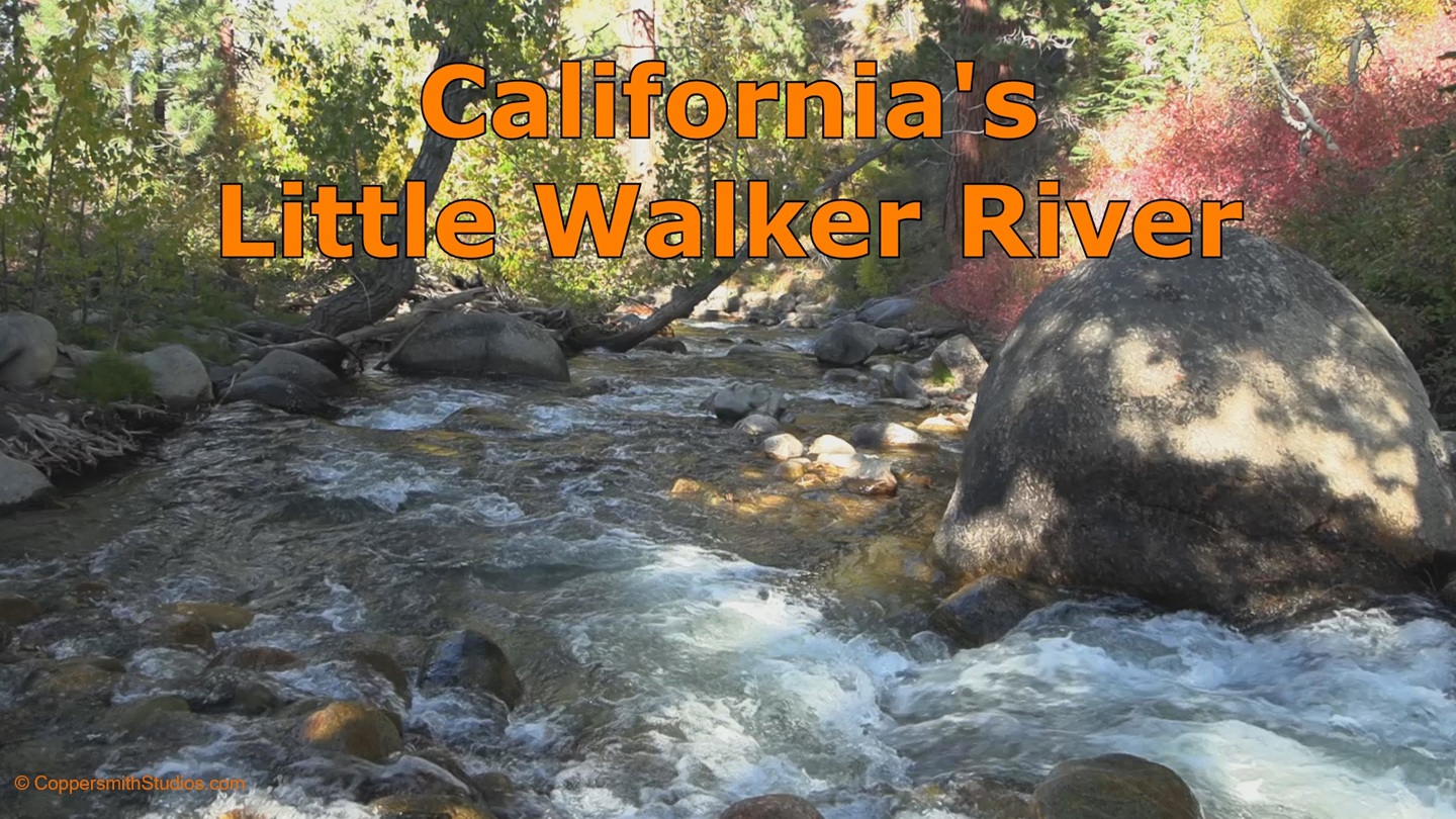 |
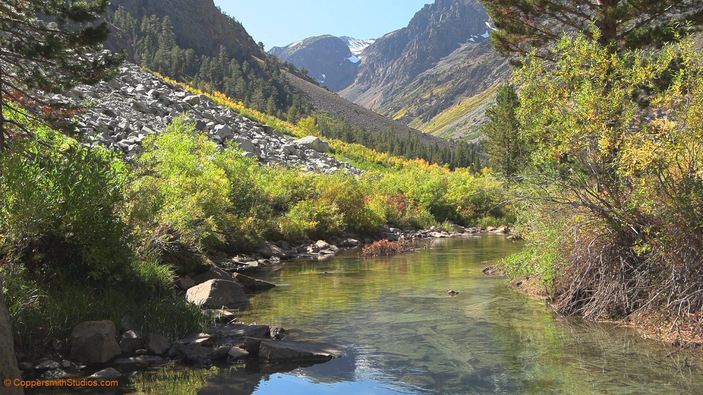
WATCH LITTLE WALKER RIVER The Little Walker River offers about 14 miles of trout fishing in California's Eastern Sierras. There is a lot of private land on the lower portions, but the upper section runs thru the Toiyabe National Forest and Hoover Wilderness Area, offering public access. The main fish in this section of the Little Walker are wild brook trout. A trail the follows the stream for several miles. |
 |
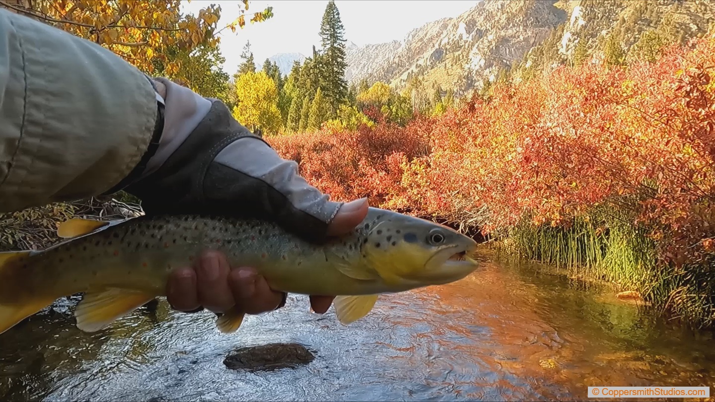
WATCH MILL CREEK Mill Creek in California's Inyo National Forest is one of the most scenic little brook trout streams I've ever fished. And I've fished a lot of streams. This area is in the Eastern Sierras. The publicly accessible section is upstream of Lundy Lake. Snowmelt from perennial snow fields along the Sheperd Crest provide a steady supply of cold water. There are several places to park and a trail that follows the stream up into the canyon. |
 |
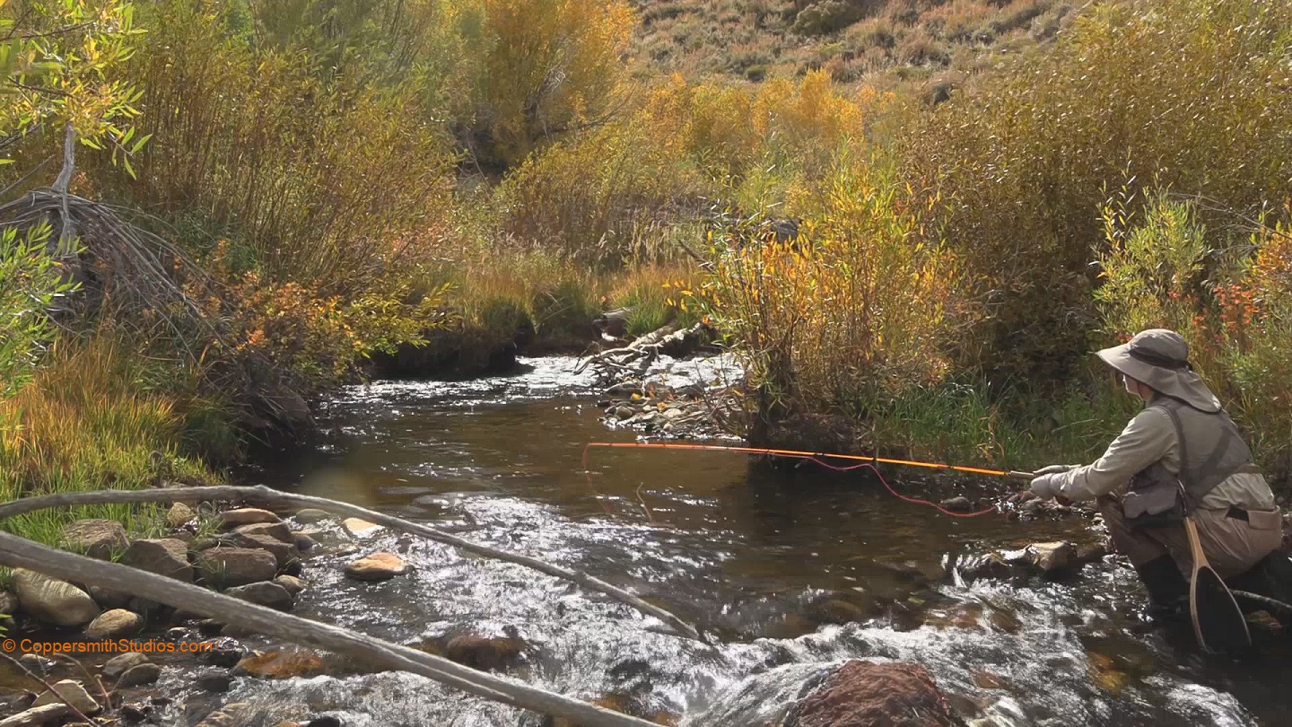
WATCH ROBINSON CREEK, CA Robinson Creek is a popular and productive trout stream in California's Eastern Sierras. There are about 6 miles of water downstream of the Twin Lakes flowing thru the Toiyabe National Forest that are heavily stocked with rainbow trout each week. With 4 campgrounds in the area this is basically a put and take stream. Mono Village is a small resort community where you can park and gain access to the 5 mile long headwater portion of Robinson Creek. |
 |
WATCH VIRGINIA CREEK, CA Virginia Creek drains the popular Virginia Lakes region. After crossing Virginia Creek Road it flows thru a canyon alongside Hwy 395 and then enters the Bridgeport Reservoir which is part of the East Walker River watershed. The lower portion is stocked but other areas are difficult to access and hold wild trout. |
|
|
WATCH WEST WALKER RIVER (LOWER), CA The West Walker River is a major trout stream in the Eastern Sierras portion of California. On this day I was fishing the lower section which flows along side Hwy 395. There are a number of camp grounds and pull-outs along the highway and a lot of people fish it so it is well stocked throughout the season. Some of the stocked trout are the large Alpers rainbow variety. Some parts of the stream flow thru a turbulent canyon area but other sections are slower and easier to fish and wade. |
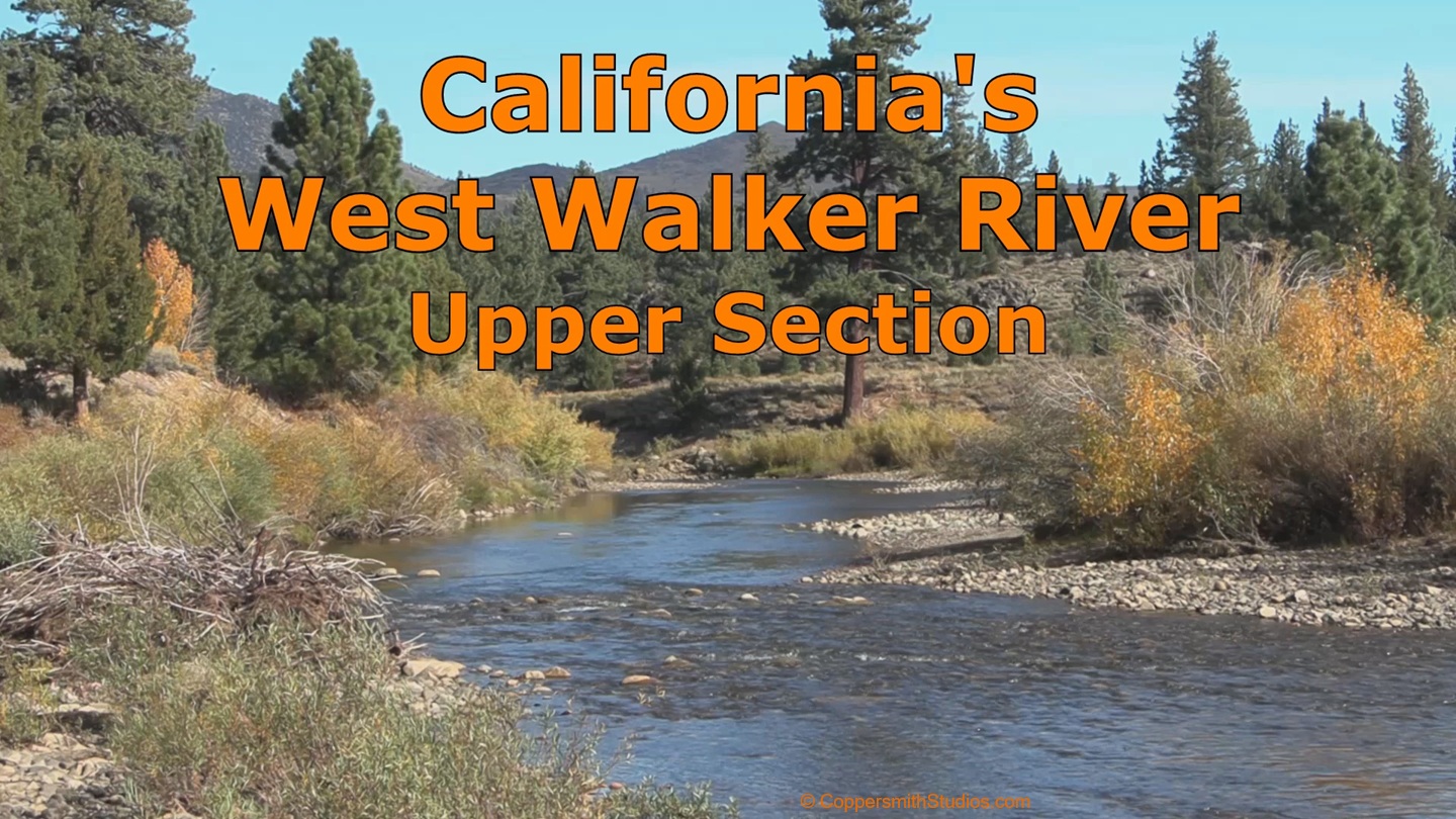 |
WATCH WEST WALKER RIVER (UPPER), CA The upper West Walker River I consider to be the 20 miles upstream of the Little Walker River. In October the flows are low and clear. There are several large meadow areas in this section. There are trails that follow this stream up thru the Hoover Wilderness almost to its source in Yosemite NP. It would make a good place for fishing/backpacking trip. |
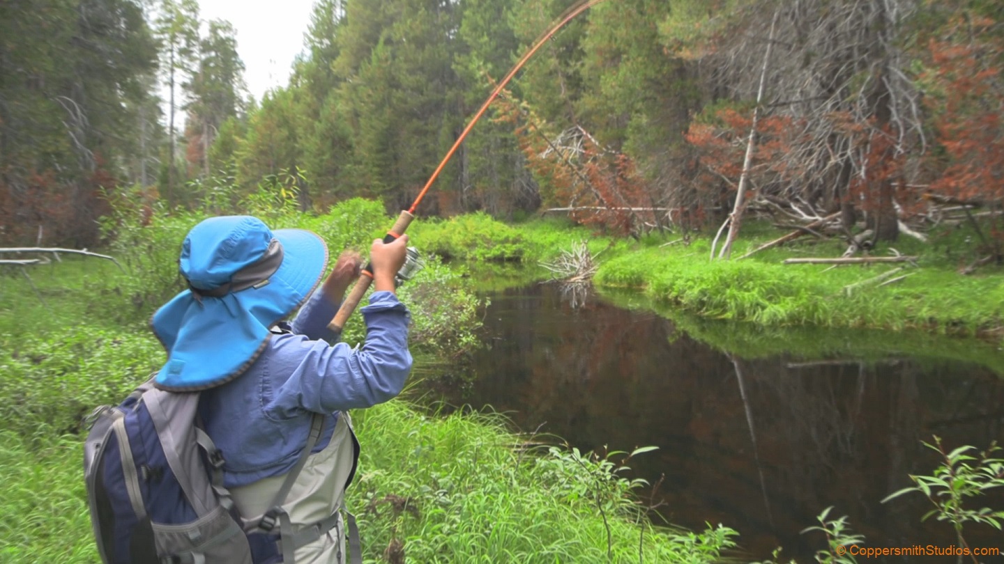 |
WATCH BRIDALVEIL CREEK, CA Bridalveil Creek, in California's Yosemite National Park, offers fishing for brown trout, brook trout and a few rainbow trout. Access is from Glacier Point Road. There is a campground nearby and better success may be had if you walk a ways from the campground. Most people know Bridalveil by the spectacular waterfall it forms while falling into Yosemite valley. Farther up in the mountains it is a relatively quiet stream. There is a trail following it upstream. The 5 mile section below Glacier Point Road is not followed by a trail and is a bit rugged but there is one trail that crosses that section. |
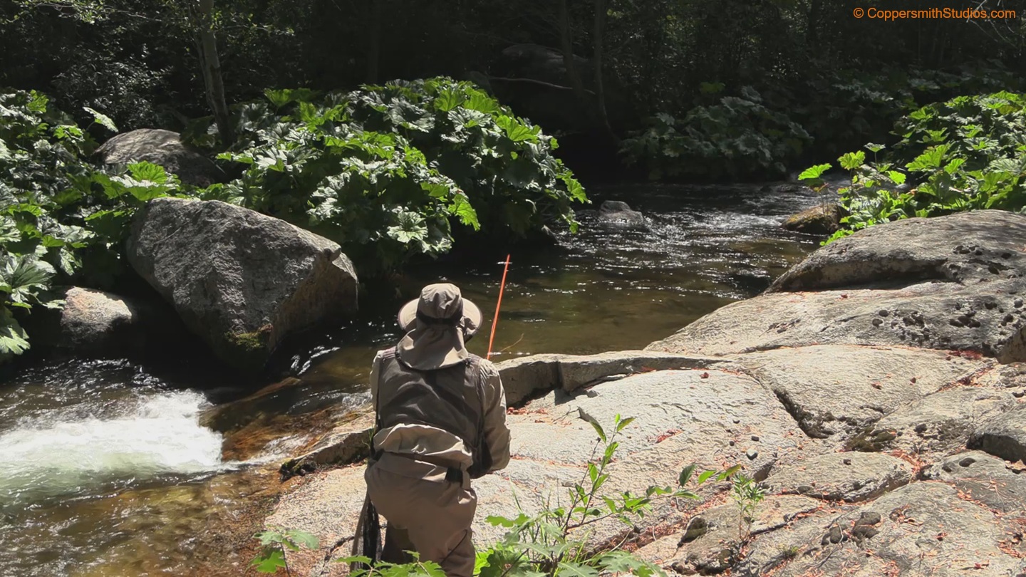 |
WATCH BIG CREEK, CA Big Creek is a tributary to the S.F. Merced River in the southern portion of California's Yosemite National Park. The lower portion has rainbow trout and the upper portion is reported to hold browns. There are a lot of big sequoia trees on Big Creek. Although small, the stream is very hard to wade and the surrounding terrain does not allow easy passage. There is an additional access point at the Fish Camp campground just south of Yosemite N.P. although that campground does not offer parking for non-campers. |
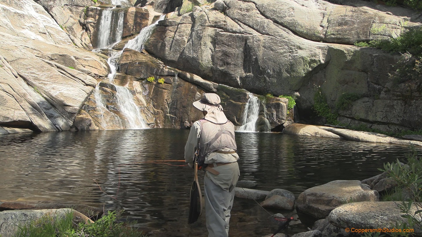 |
WATCH CHILNUALNA CREEK & FALLS, CA Chilnualna Creek in Yosemite National Park, California offers fishing for wild rainbow trout. A trail follows the stream but there are cliffs and rugged terrain along the way. A hike of 4 miles and 2,400' elevation gain will bring you to a stream crossing near a spectacular set of waterfalls. Fishing is good here and reported to be good above the falls. I did some climbing and found the action to also be good in the lower section. The rainbows aren't large but are vividly colored and fun to catch. |
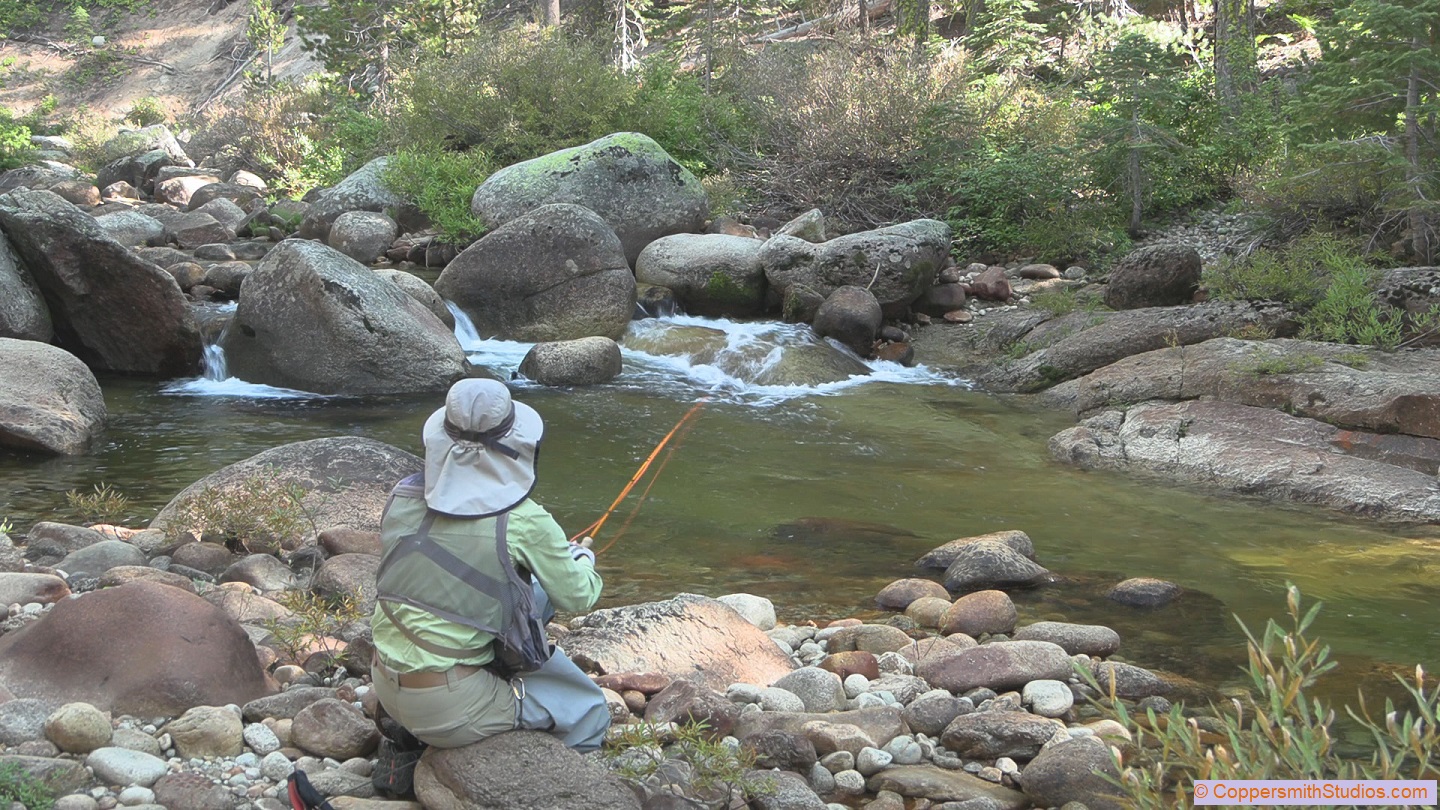 |
WATCH ILLILOUETTE CREEK, CA Illilouette Creek in California's Yosemite National Park is a great place to catch lots of small rainbow trout on a dry fly. No roads cross Illiloutte Creek so you'll need to hike a couple miles to get to it. I choose the Mono Meadow trail which gets to the creek with a steep 2 mile hike. Most of the people who use this trail tend to be backpackers. The trail is well maintained but there is one marshy spot where you might get your feet wet. I've heard rumors of golden-rainbow trout hybrids in the stream. Overall I thought Illilouette Creek was a really fun little stream to fish. |
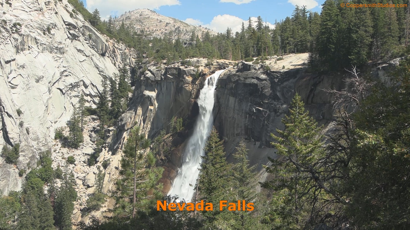 |
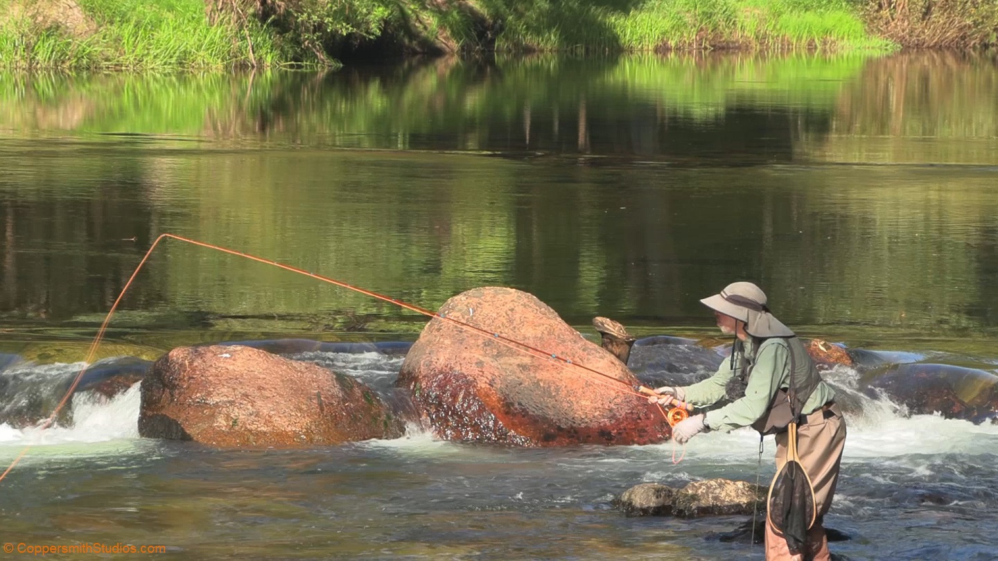
WATCH UPPER MERCED RIVER, CA The Merced River is the main stream of Yosemite National Park. The upper portion can only be accessed by a long hike. For the first 4 miles the river here contains trout but is turbulent and surrounded by rugged terrain. Above Nevada Falls at Little Yosemite Valley the land flattens out a little and fishing is easier with rainbow abundant and some brown trout present. The trails leading up here are crowded and steep so don't do it unless you're in good shape. Despite the many people hiking thru this area I didn't see anyone else fishing. |
 |
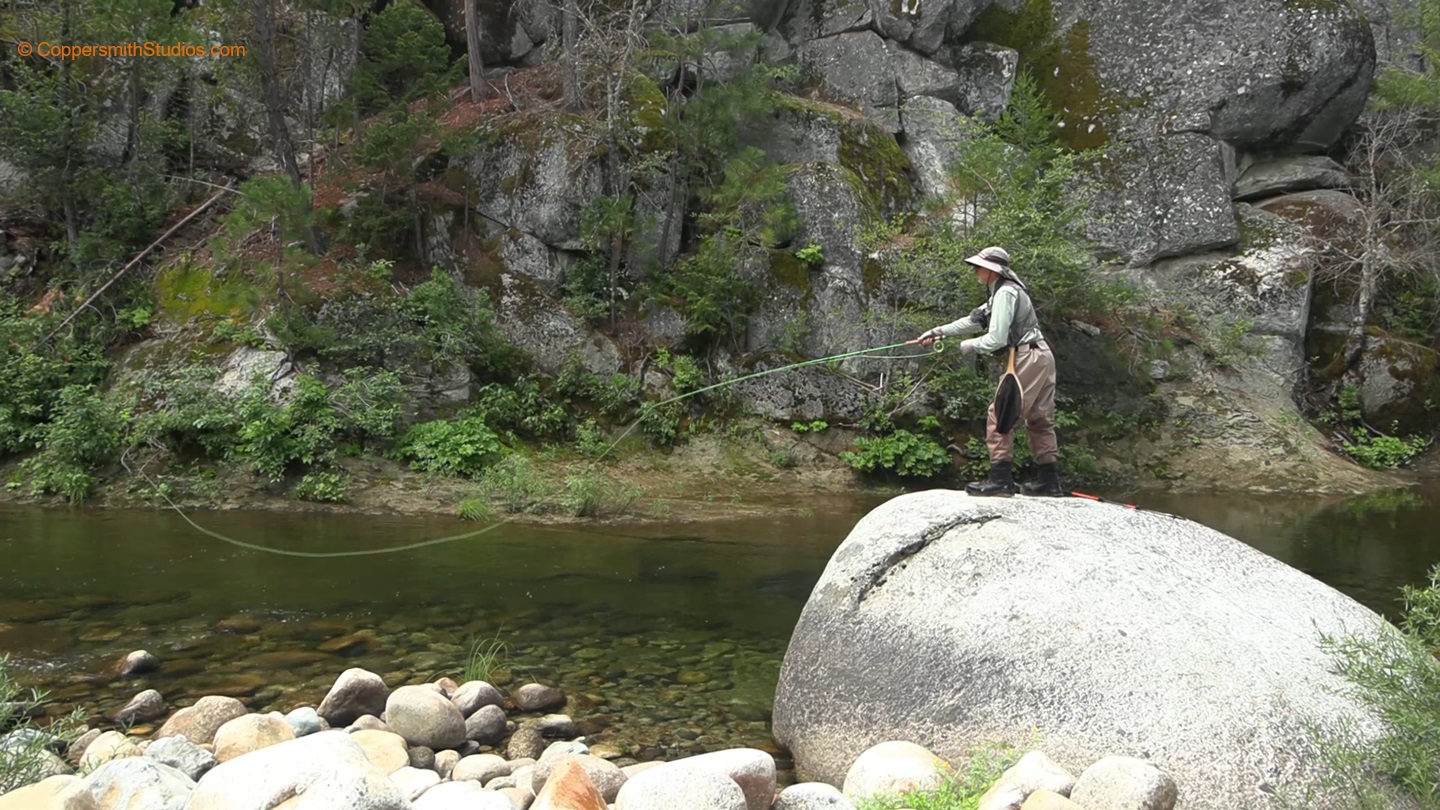
WATCH LOWER MERCED RIVER, CA The Merced River flows for about 10 miles thru Yosemite Valley. This part of the stream gets a lot of pressure. Seeing as how the stream is not stocked and contains only wild rainbow and brown trout these fish get an education and can be tough to catch. I recommend avoiding the slower sections and fish the turbulent areas, which are common and generally produce better action. Most of the fish you catch will be rainbows with an occasional brown trout under 10 inches but there are a few brown trout in the deeper pools over 20 inches. |
 |
WATCH SF MERCED RIVER, CA The South Fork Merced River is a long trout stream flowing along the southern portion of California's Yosemite National Park. While the middle portion runs past a campground and follows a road the lower and upper sections run thru remote and difficult to access wilderness. There are a couple trails that cross the upper section but they do not follow it. The lower section is known to run thru a rugged canyon that is rumored to hold some good sized brown trout. The upper section holds mostly rainbow and a few brook trout. |