 |
 |
 |
 |
 |
Stream via PATREON or CLICK BELOW TO PURCHASE.
DVD: How to Fly Fish with a Spinning Rod
DVD: Trout Streams of the Tetons
DVD: Trout Streams of Michigan, U.P. West
DVD: Trout Streams of North Carolina, West
DVD: Trout Streams of Virginia
DVD: Trout Streams of Southwest Wisconsin, North
Send Email to: CoppersmithStudios@gmail.com
It is my plan to returrn to Vermont in the future to fish and film more of their wonderful trout streams.
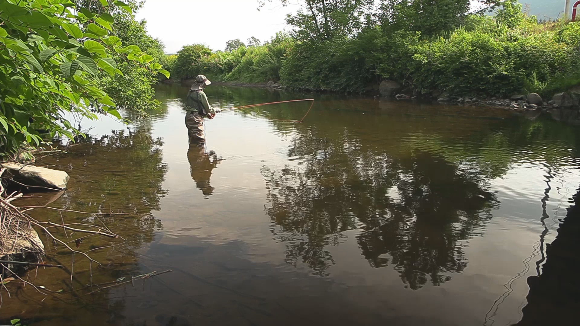 |
WATCH BATTENKILL RIVER The Battenkill River might be Vermont's most famous trout stream. It has been written about for over a hundred years and flows right past the Orvis Fly Rod company. It is a large spring creek with wild brown and brook trout present. The regulations are catch and release. The fishing on the Battenkill has been said to have declined during the past couple decades. The action did not seem very good when I fished it so that might be true. |
 |
WATCH BLACK BROOK Black Brook is a small tributary to the East Branch Deerfield River in southern Vermont having self sustaining populations of native brook trout. It flows thru Green Mountains national forest land and may be accessed via the Stratton Pond trailhead. It is also crossed by the Appalachian Long Trail. |
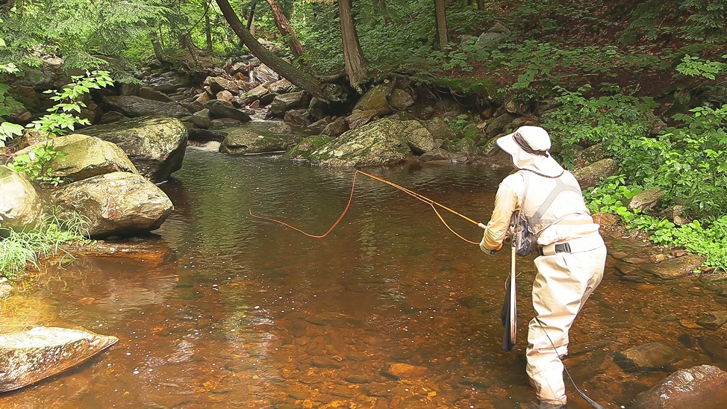 |
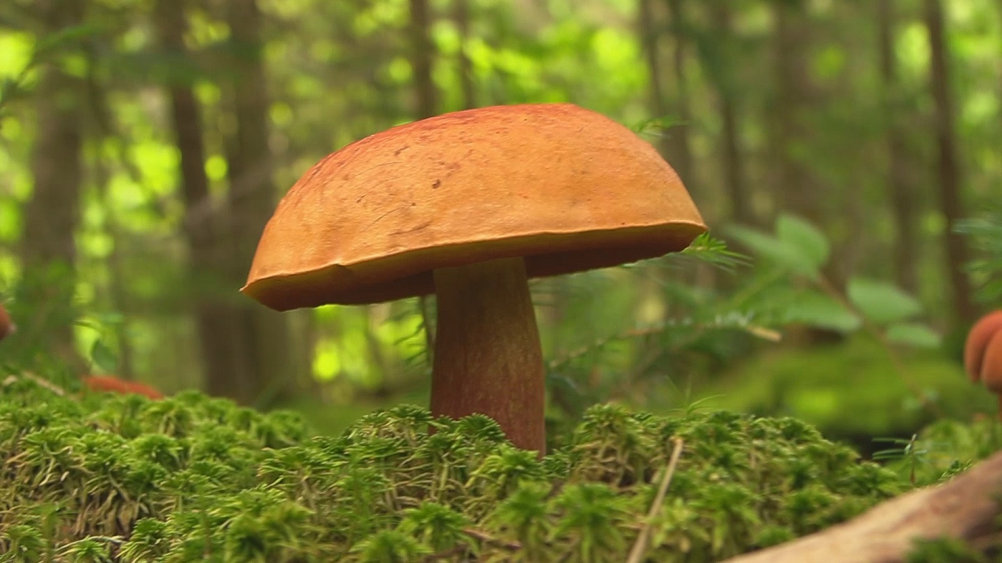
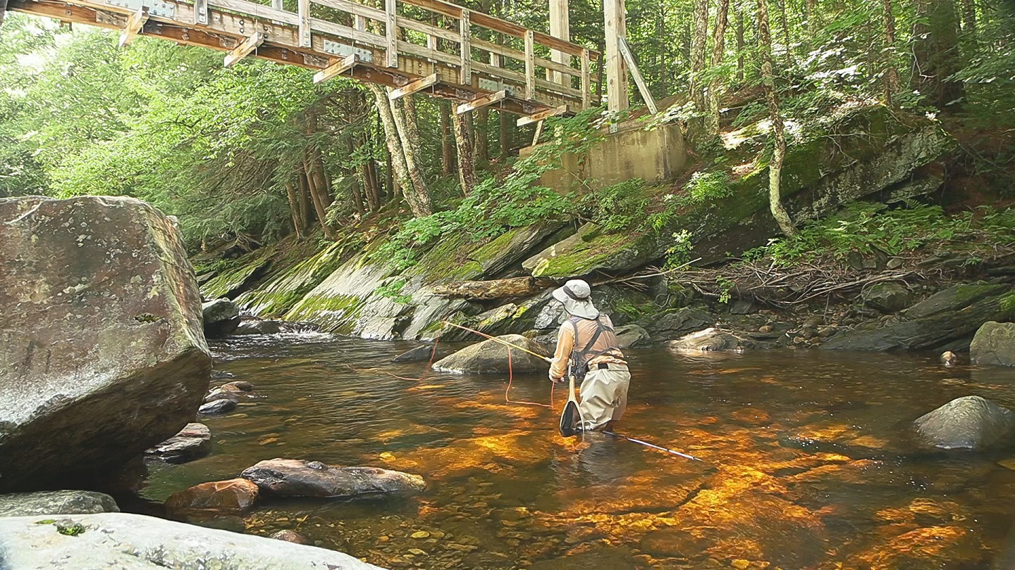
WATCH BIG BLACK BRANCH Big Black Branch is a tributary to Big Branch and flows thru the Green Mountains of Vermont. It flows entirely thru public national forest land and there is a good access and parking area near the Appalachian Trail which follows it for about a tenth of a mile. Despite the heat of August I found good action for brook trout. A great variety of mushrooms can also be found here. |
 |
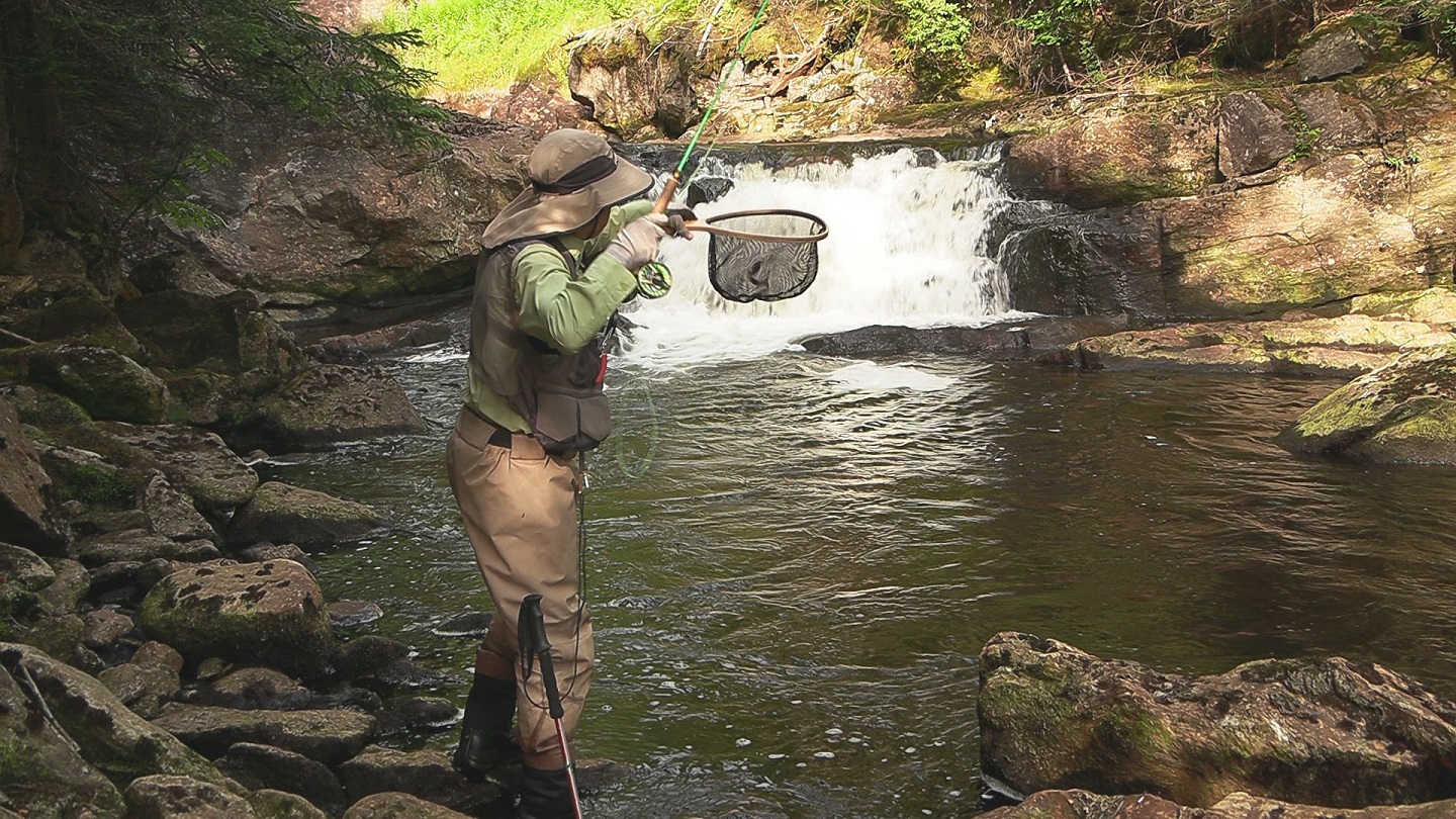
WATCH BIG BRANCH Big Branch is a tributary to Otter Creek in southern Vermont offering good fishing for brook trout. It flows thru the Green Mountains. Plenty of national forest land as well as the Big Branch Wilderness land gives good access. A good parking area exists and a hike of 1 to 2 miles along the Appalachian Trail and Old Job trail will get you to and from the stream. I was using a 3wt 7' custom fiberglass spin-fly rod and a #16 adams wulff dry fly. |
 |
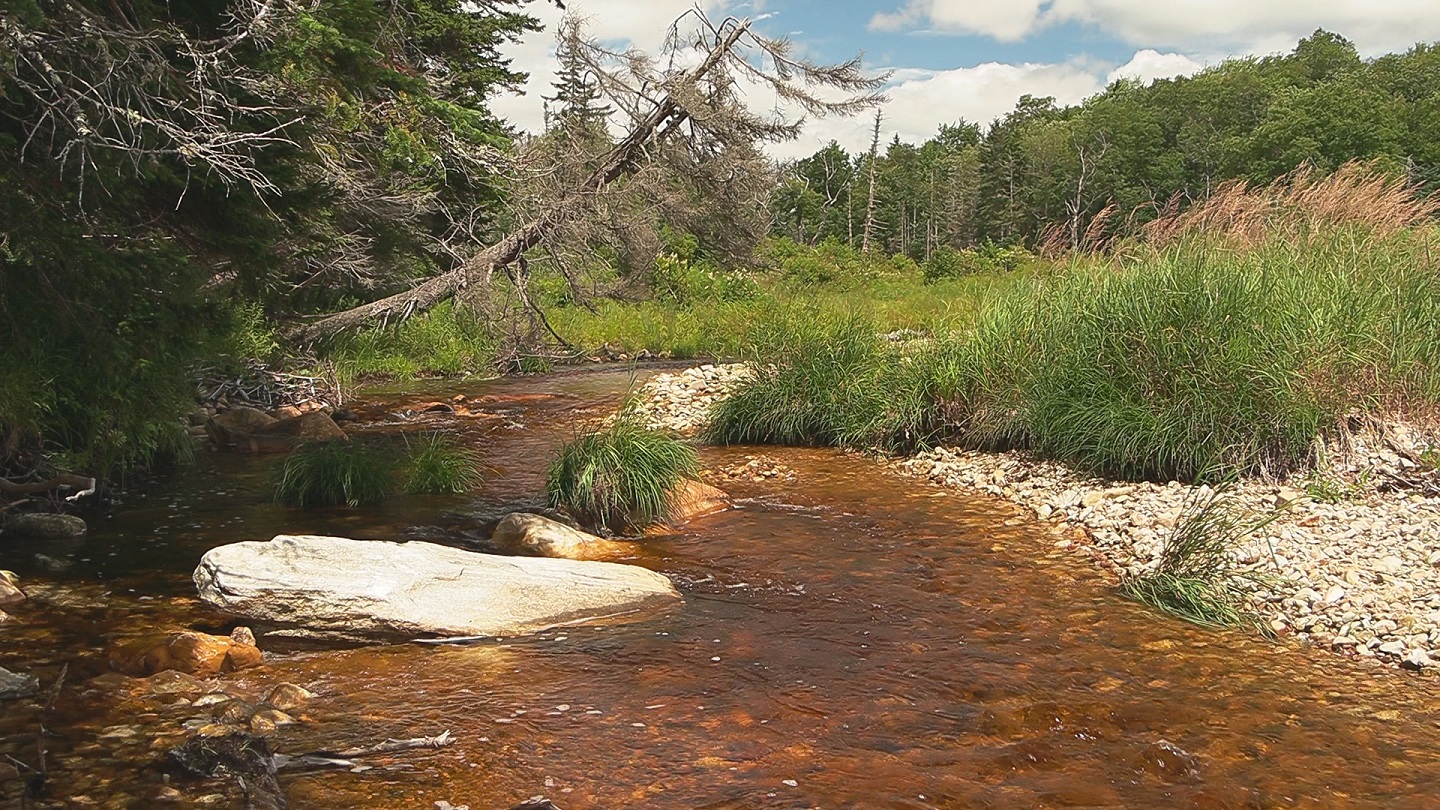
WATCH EAST BRANCH DEERFIELD RIVER The East Branch Deerfield River offers a 5 mile tailwater fishery below the 456 foot high earthen dam of Somerset Reservoir. Most of the fish are wild brook trout with a few brown trout present. There is parking just below the reservoir and then a well maintained trail follows the east branch downstream to its confluence with the main Deerfield River. |
 |
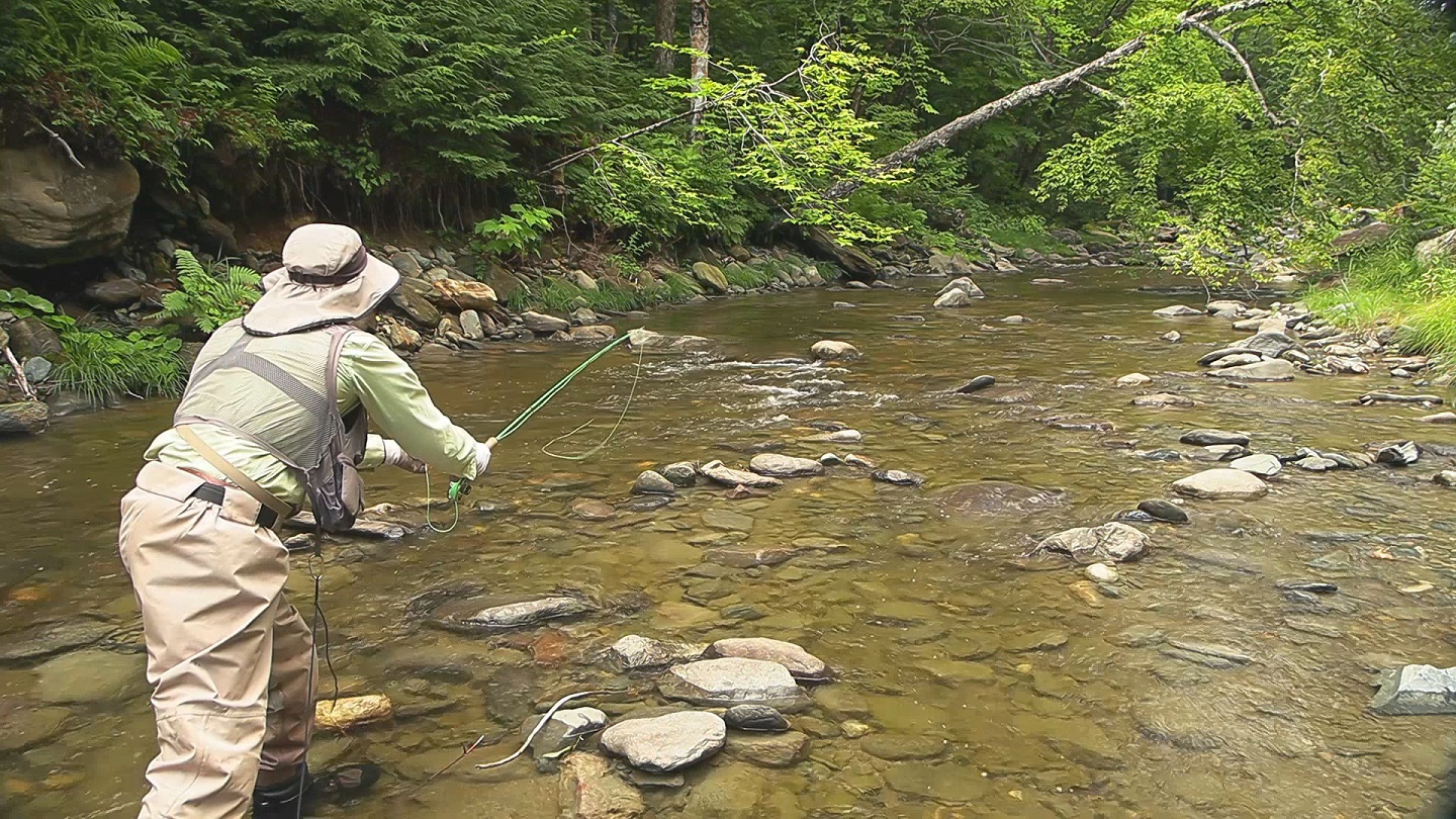
WATCH UPPER EAST BRANCH DEERFIELD RIVER The Upper East Branch Deerfield River in the Green Mountains of southern Vermont is very different from the lower tailwater section below Somerset Reservoir. A forest road crosses the upper East Branch about 2 miles north of Somerset Reservoir. Here there is parking and a couple trails leading off into the wilderness. The stream here is easy to wade and open enough for easy casting. It is also really scenic. The water is generally shallow but there are plenty of spots deep enough for the native brook trout reported to reside here. It was late July and while the rest of the country was in a heat wave the temperature only reached 70 degrees this day. So I have to say this is a cool place to fish. |
 |
WATCH GREEN RIVER There are a couple Green Rivers in southern Vermont. This one flows south into Massachusets and then into the Deerfield River. It is 31 miles long. The upper portion has native brook trout and wild brown trout. Green River Road closely follows the trout section but there aren't a lot of parking spaces. The stream is a bit open and exposed to the sun. It would probably fish better in the spring or fall. |
 |
WATCH MAD TOM BROOK Mad Tom Brook is a brook trout stream in the Green Mountains of Vermont. It is a tributary of the Battenkill River. There is a trailhead with parking for a few cars to the East Dorset Trail which closely follows Mad Tom for 4 miles upstream. I found the fishing to be pretty good for brook trout, especially the further I got from the trailhead. Most are small, 5"-7", but I got one that was 9" and saw one that looked to be 10". The name "Mad Tom" comes from the raging floods that can quickly arise from a heavy rain. |
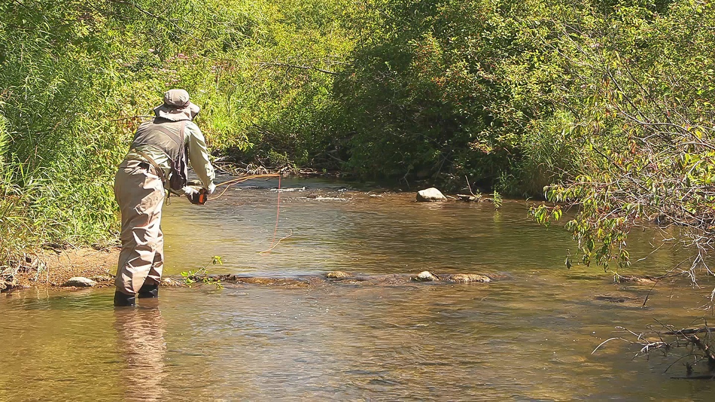 |
WATCH WEST BRANCH BATTENKILL RIVER The West Branch Battenkill River flows for 9 miles thru Vermont until joining with the East Branch to form the Battenkill River. This is primarily a brook trout stream. The first 2 miles are high gradient. The remaining 7 miles are mostly low gradient. As a result, there aren't a lot of deep holes. |