 |
 |
 |
 |
 |
Stream via PATREON or CLICK BELOW TO PURCHASE.
DVD: How to Fly Fish with a Spinning Rod
DVD: Trout Streams of the Tetons
DVD: Trout Streams of Michigan, U.P. West
DVD: Trout Streams of North Carolina, West
DVD: Trout Streams of Virginia
DVD: Trout Streams of Southwest Wisconsin, North
Send Email to: CoppersmithStudios@gmail.com
Depending on funding I may or may not return to Minnesota. There are a lot of good trout streams there yet to be filmed so I am hoping it happens.
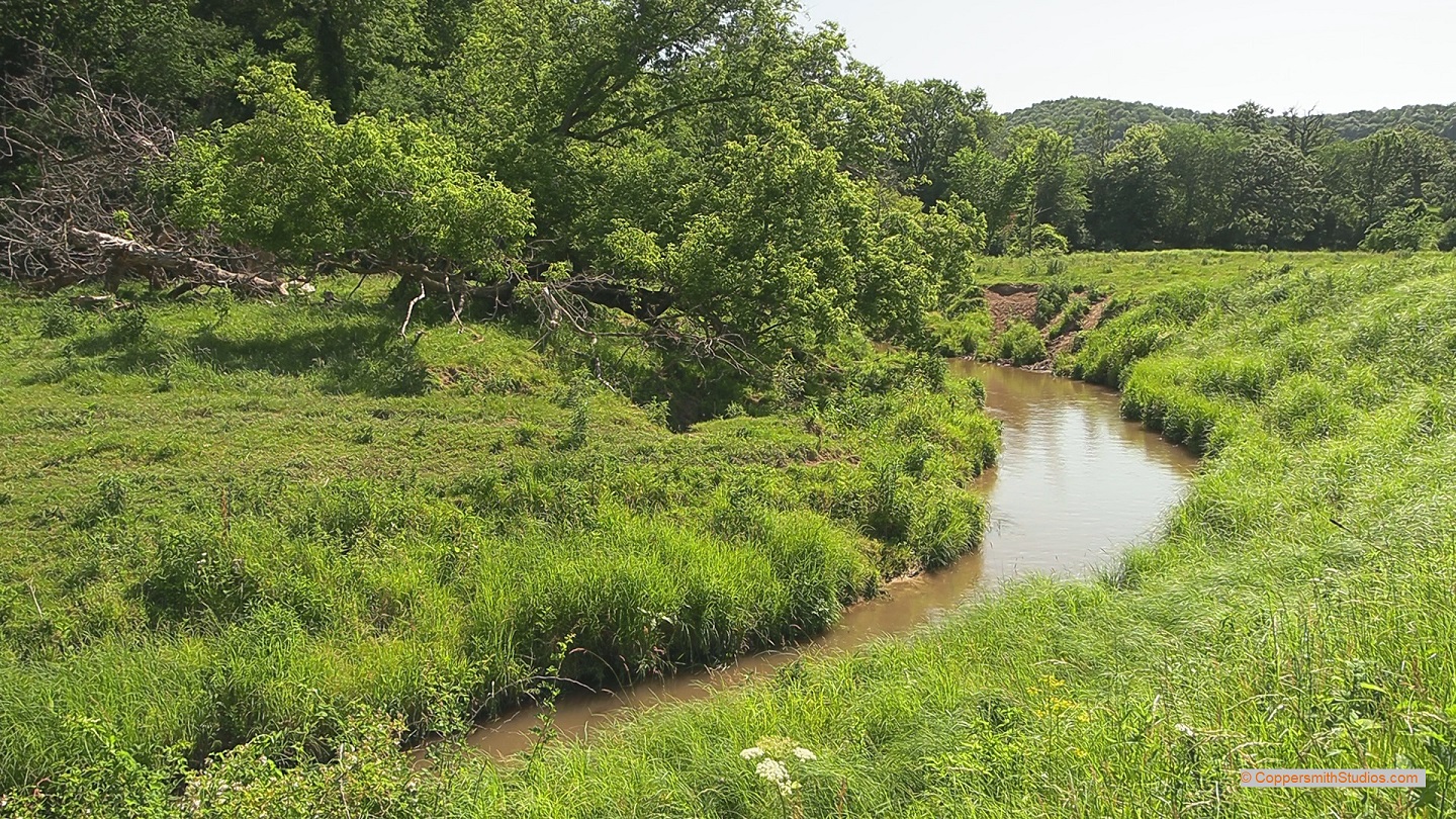 |
WATCH BADGER CREEK Bader Creek is a tributary to the South Fork Root River in SE Minnesota offering 6 miles of good fishing for mostly wild brown trout with a few brook trout in the headwaters. The MN DNR indicate there are up to 150 pounds of trout per acre in most upstream areas and over 100 brown trout greater than 12" per mile, so that's pretty good for such a small stream. The water tends to run a bit muddy in this stream probably due to agricultural activity. |
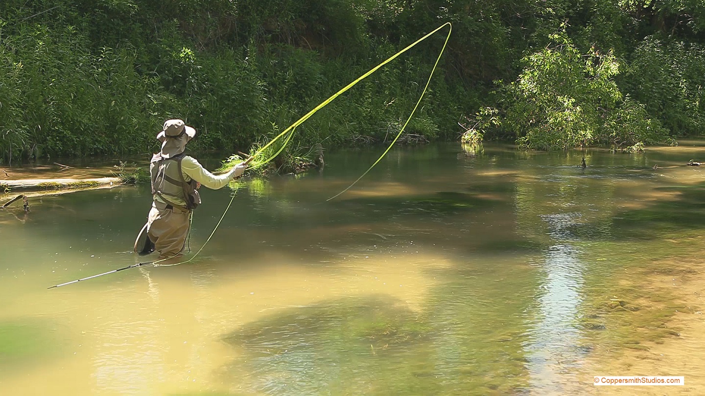 |
WATCH BEAVER CREEK Beaver Creek offers 7 miles of good fishing for mostly wild brown trout with a few stocked rainbows near County Road 10. Most of the public easements are on the upper half of the stream. Formed by its east and west branches, Beaver Creek is a bit larger than most other trout streams in the area. While most of the fish you catch tend to be of modest size there are some real lunkers in here. In fact the state record brown trout was once caught from this stream. |
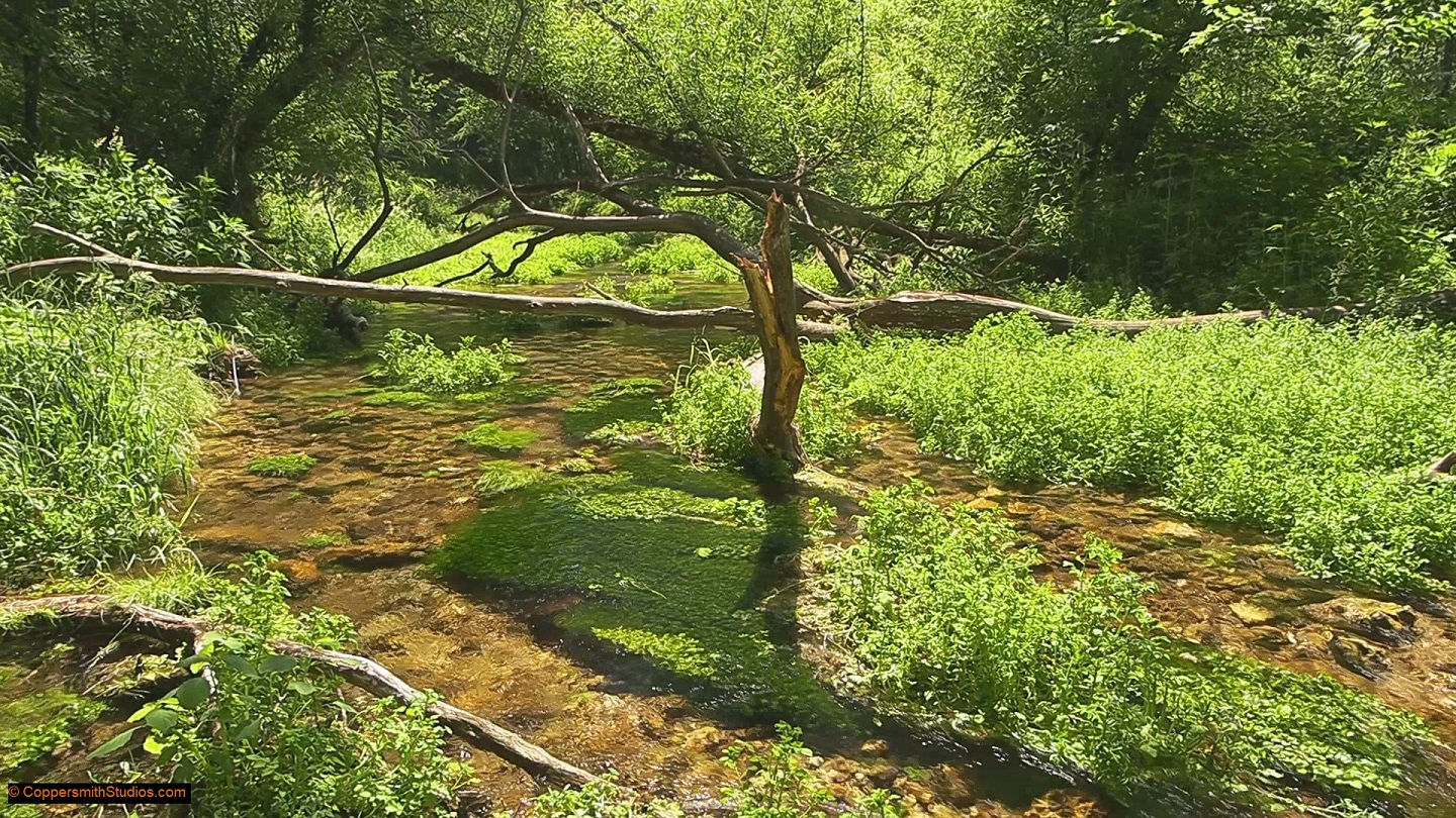 |
WATCH BEAVER CREEK, EAST BRANCH The East Branch of Beaver Creek in southeast Minnesota offers about 2 and half miles of good fishing for wild brown trout and an occasional brook trout. The entire creek flows thru Beaver Creek Valley State Park, giving it excellent public access although you will have to purchase a vehicle access permit to enter the park. Despite being in a state park the fishing pressure tends to be low. The stream has had a lot off rehabilitation work done. The main source of water originates from a spring in a limestone cliff. There is a trail which will allow you to hike along the stream. Studies have shown the east branch to have up to 200 pounds of trout per acre, with 150 brown trout per mile greater than 12 inches. |
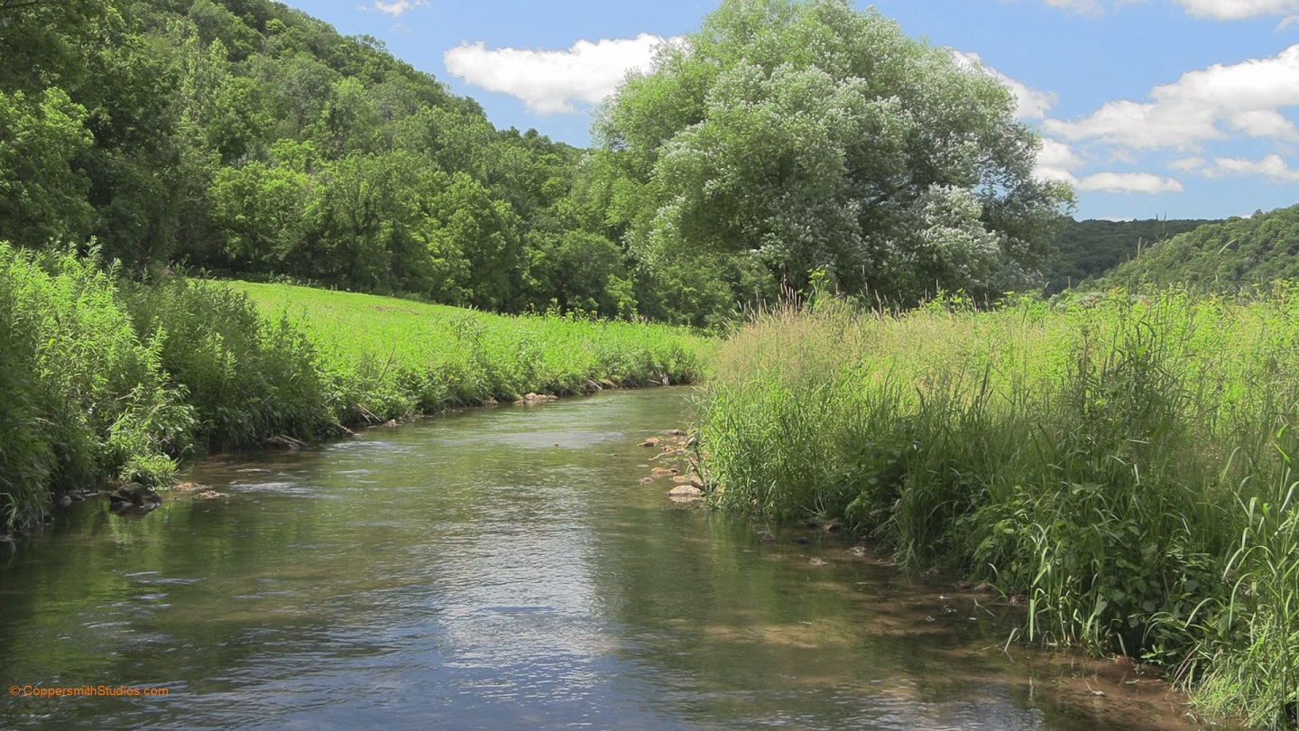 |
WATCH BEAVER CREEK, WEST BRANCH The West Branch Beaver Creek in southeast Minnesota offers 7 miles of fishing for mostly wild brown trout with a few brook trout found in the headwaters. Much of the stream has public easements. The main access points are from either the County Rd 12 bridge or this public easement off W. Beaver Rd. This section tends to get more fishing pressure than most other streams of this area but the fishing remains good. Aside from the last mile near the confluence with the east branch, there are good numbers of brown trout over 12". I could also see a lot of brown trout under 12". Stream rehabilitation work has been done here. Beware of wild parsnip. It is common here and can cause long term blistering. |
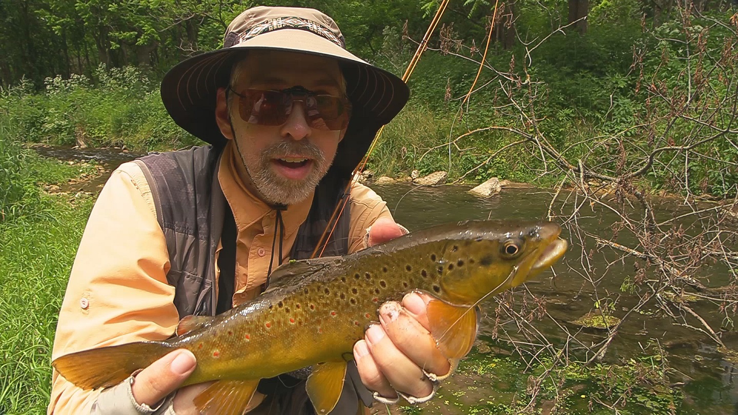 |
WATCH BEE CREEK Bee Creek is a small trout stream in the far southeast corner of Minnesota. It flows into Iowa where it is renamed as Waterloo Creek. That section is stocked and some of those fish migrate into Minnesota. There are 3 miles of good trout for brown trout and about 2 miles of leased land. |
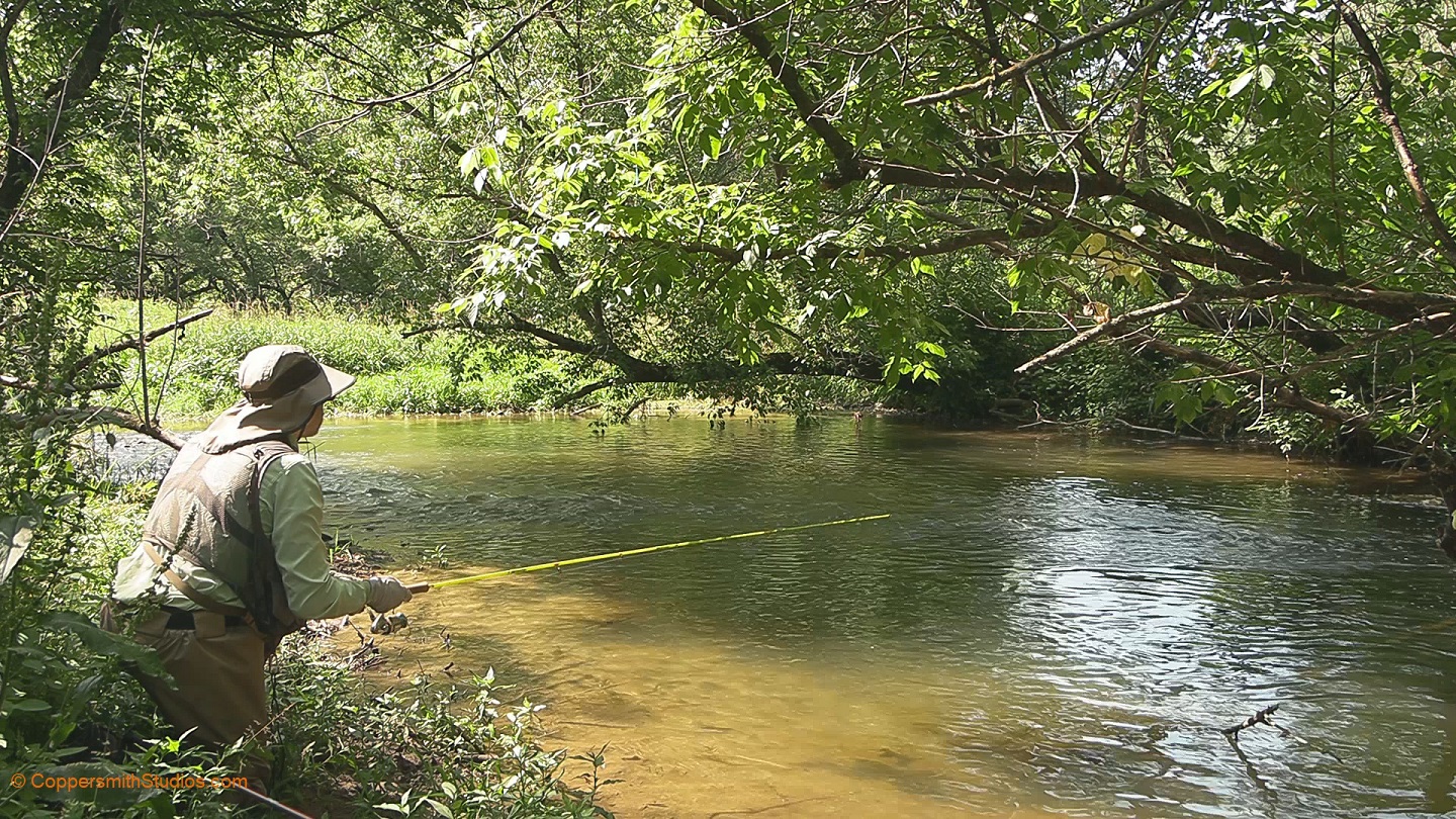 |
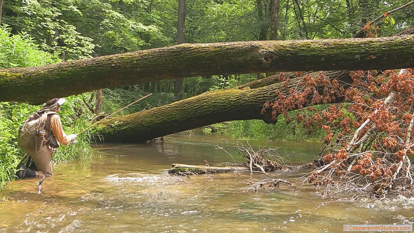
WATCH CROOKED CREEK Crooked Creek is a tributary of the Mississippi River in the far south east corner of Minnesota. It has about 5 miles of good trout water. There are angler easements along most of the trout water. This stream is larger than most other streams of the area and not surprisingly is known to hold some really big brown trout. Of course if you fish during a bright summer afternoon as I was you're much more likely to catch the many smaller brown trout that reside here. Below Freeburg the stream is mostly sand, but the upper portion has a good amount of gravel and riffles. |
 |
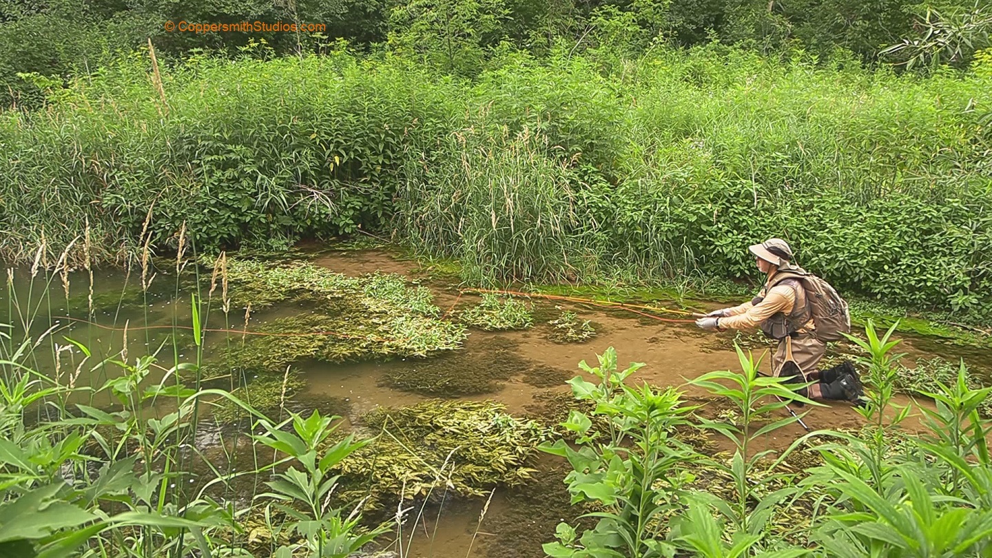
WATCH FORESTVILLE CREEK Forestville Creek offers 2 and a half miles of quality fishing for brown trout in Minnesota's Driftless region. It is a tributary to the South Brach Root River, flows thru the Forestville State Park and has angling easements throughout its length. Forestville Creek originates directly from a cave. The temperature of the entire stream rarely exceeds 65 degrees even during the summer. There are over 100 brown trout per mile greater than 12", with a total trout biomass of 250 pounds per acre. A trail follows the stream up to its cave beginnings. |
 |
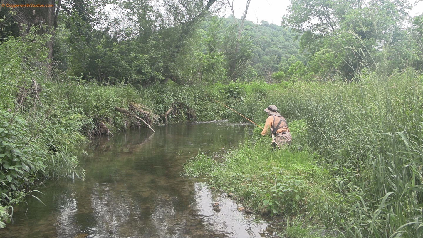
WATCH GRIBBEN CREEK Gribben Creek is a small but high quality stream in Minnesota's Fillmore County flowing into the Root River. It is known as a brook trout stream but during July their appears to be a migration of brown trout from the warmer Root River into its cooler waters and the brookies probably head into the extreme headwaters. To protect the quality of this fishery restrictive regulations have been introduced. Only artificial flies and lures may be used and all trout between 12 and 16 inches must be released. A combination of public forestry land and fishing easements allows usually allows easy access for the 4 miles of trout water but during the summer the vegetation does its best to make access difficult. |
 |
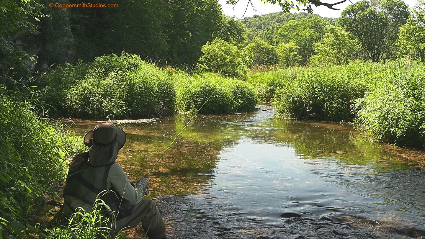
WATCH LARSON CREEK Larson Creek is a tributary to the West Branch Beaver Creek offering just under 3 miles of fishing for brown trout. You can access Larson creek by hiking along the west branch from County Rd 12 along leased land. There is also a trail further upstream that connects Larson to Co. Rd 12. The MN DNR indicates this small stream has good fishing for brown trout with fish over 16" taken each year. I did see one trout that looked to be 15" so maybe that's true. |
 |
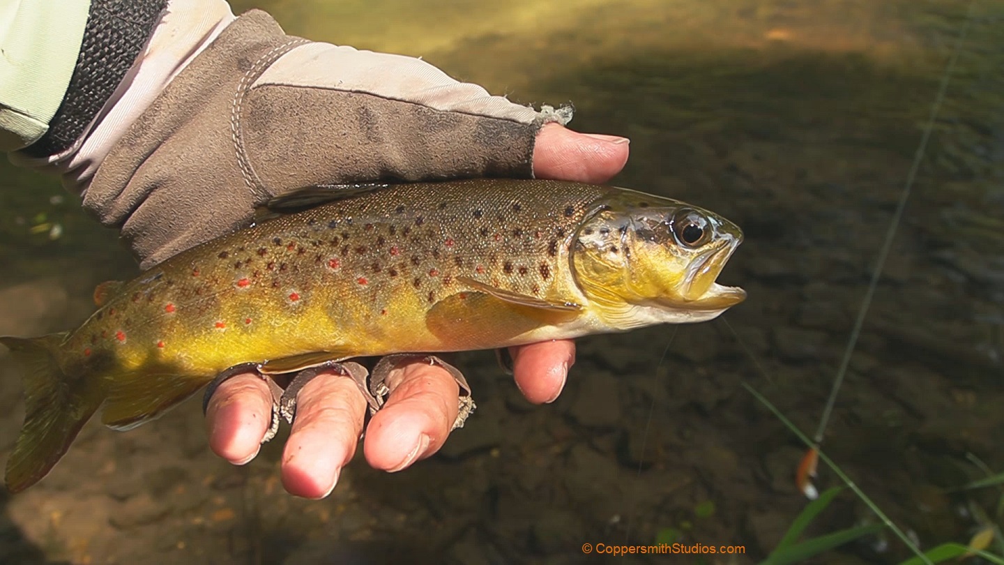
WATCH NORTH BRANCH CROOKED CREEK The North Fork of Crooked Creek flows thru Houston County in the far south east corner of Minnesota. It offers about 6 miles of trout water for brown and brook trout. There is a lot of leased land along this stream and a good amount of stream improvement work has been done. I could see a lot of trout in this water but aside from the one I caught they were hard to fool. |
 |
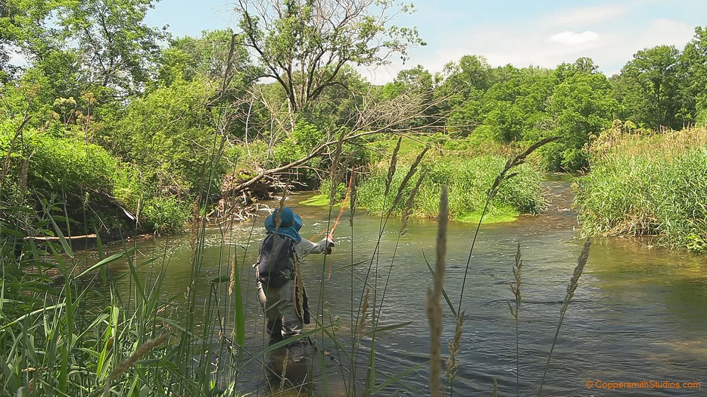
WATCH RICEFORD CREEK Riceford Creek in south east Minnesota offers over 10 miles of trout water. Unfortunately there are almost no public easements along the way and much of the stream is deep with a soft bottom making wading legal but difficult. The one exception is a small park near the town of Maybel. There are plenty of brown trout here and I had good action fooling them with a #18 zebra midge fly below a floating crankbait. |
 |
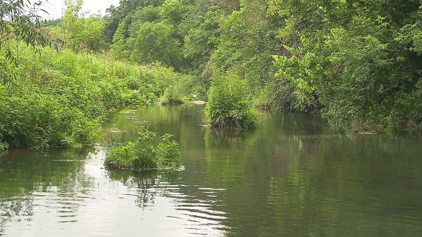
WATCH SOUTH BRACH ROOT RIVER The South Branch Root River is major trout stream in the Minnesota Driftless area. It gets a good amount of fishing pressure from wading anglers, shoreline anglers and in the lower sections floating anglers. The lower portion is followed by a 42 mile long multi-purpose trail giving excellent access for anglers. The South Branch starts out as a warm water stream but soon becomes spring-fed with 48 degree water. |
 |
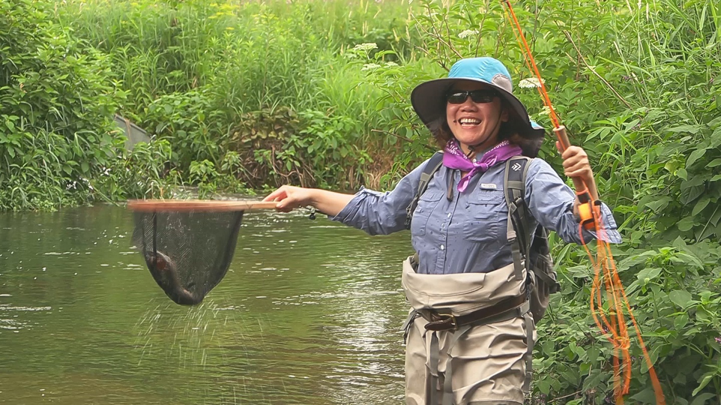
WATCH SOUTH FORK ROOT RIVER The South Fork of the Root River is a good sized trout stream with a number of good fishing tributaries in Minnesota's Driftless area. It flows south of the better known South Branch Root River. There are a lot of public easements along this stream. Here I fish the lower trout section of this stream and also the upper section. The fish are mostly brown trout and while some are of modest size there are lunkers in the deeper pools that get caught periodically. |
 |
WATCH SPRING VALLEY CREEK Spring Valley Creek is a spring creek in the southeast Minnesota driftless area offering over 10 miles of trout fishing. The easiest access is in the town of Spring Valley where there is a public park and the stream is stocked (a rare thing for SE Minnesota). And yes there are plenty of fish in this area including both rainbow and brown trout. There is additional public access a few miles further downstream. |
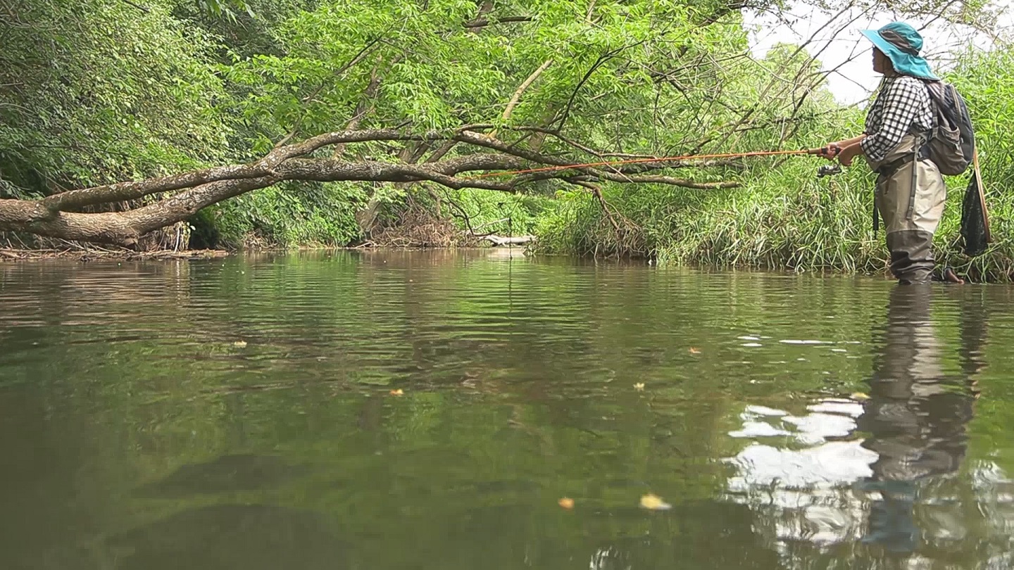 |
WATCH TROUT RUN Trout Run is one of Minnesota's most well known trout streams. It is a spring creek in the driftless region offering 13 miles off fishing for brown trout and some brook trout too. Much of the land has easements to allow public fishing from the shoreline. I fished 2 places, first the lower section near the Bucksnort dam and then the upper section near the town of Troy. During summer evenings when there is a hot spell you can watch the brown trout trying to jump over Bucksnort Dam. Most are 10-12 inches but we saw some that looked to be over 20 inches long. Catching the ones below the dam is not easy. |
 |
WATCH WINNEBAGO CREEK On my first trout fishing trip in Minnesota I fished Winnebago Creek in the far southeastern corner of the state. This is mostly a brown trout stream with a few brook trout in the upper section. Long, accurate casts were needed to entice the wary brown trout that you could easily see in the clear water. |
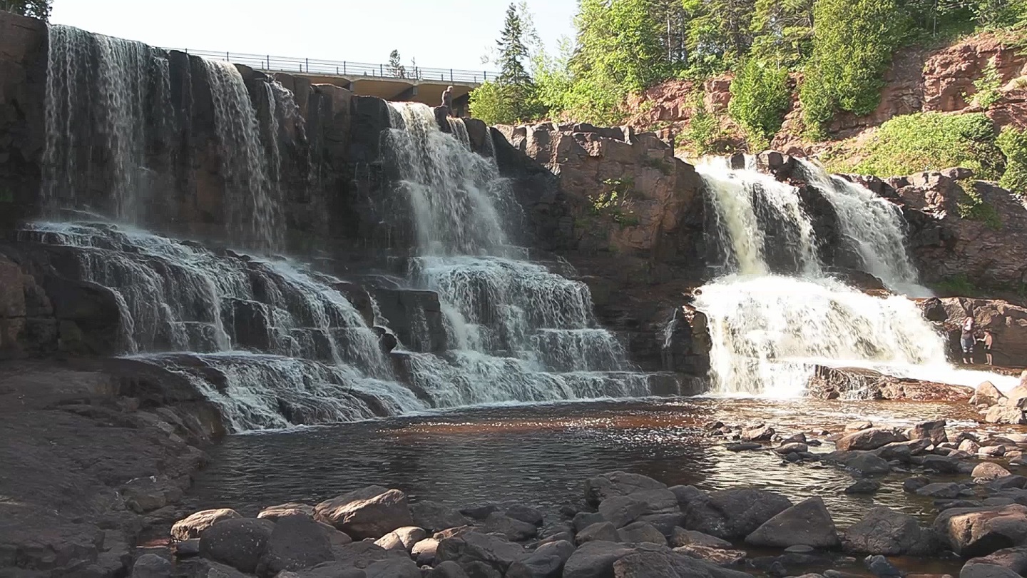 |
WATCH GOOSEBERRY RIVER The Gooseberry River flows for 23 miles thru Minnesota's North Shore area into Lake Superior. A barrier falls blocks migrating fish about a half mile rom the lake. Most of the inland fish are brook trout with an occasional brown or rainbow trout. Summer is not the best time to fish as the waters often get too warm in the afternoon. There are several large, scenic waterfalls for public viewing. This is accessible from a free public parking lot just off Hwy 61 near Gooseberry State Park. |
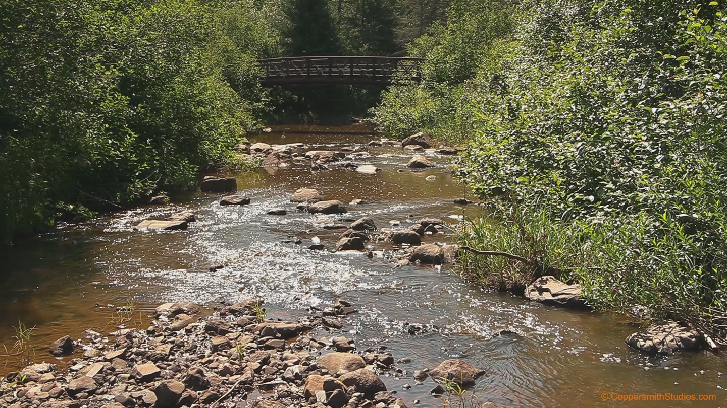 |
WATCH SKUNK CREEK According to the Minnesota Dept. of Natural Resources, Skunk Creek offers 12 miles of fishing for brook trout in the 5" to 8" range. The stream is located in Minnesota's North Shore area near Lake Superior and is a tributary to the better known Gooseberry River. The best access is by a 2 mile hike thru Gooseberry State Park. The water tends to run on the muddy side and it warms up quickly so you may need to search this stream for its better areas. |
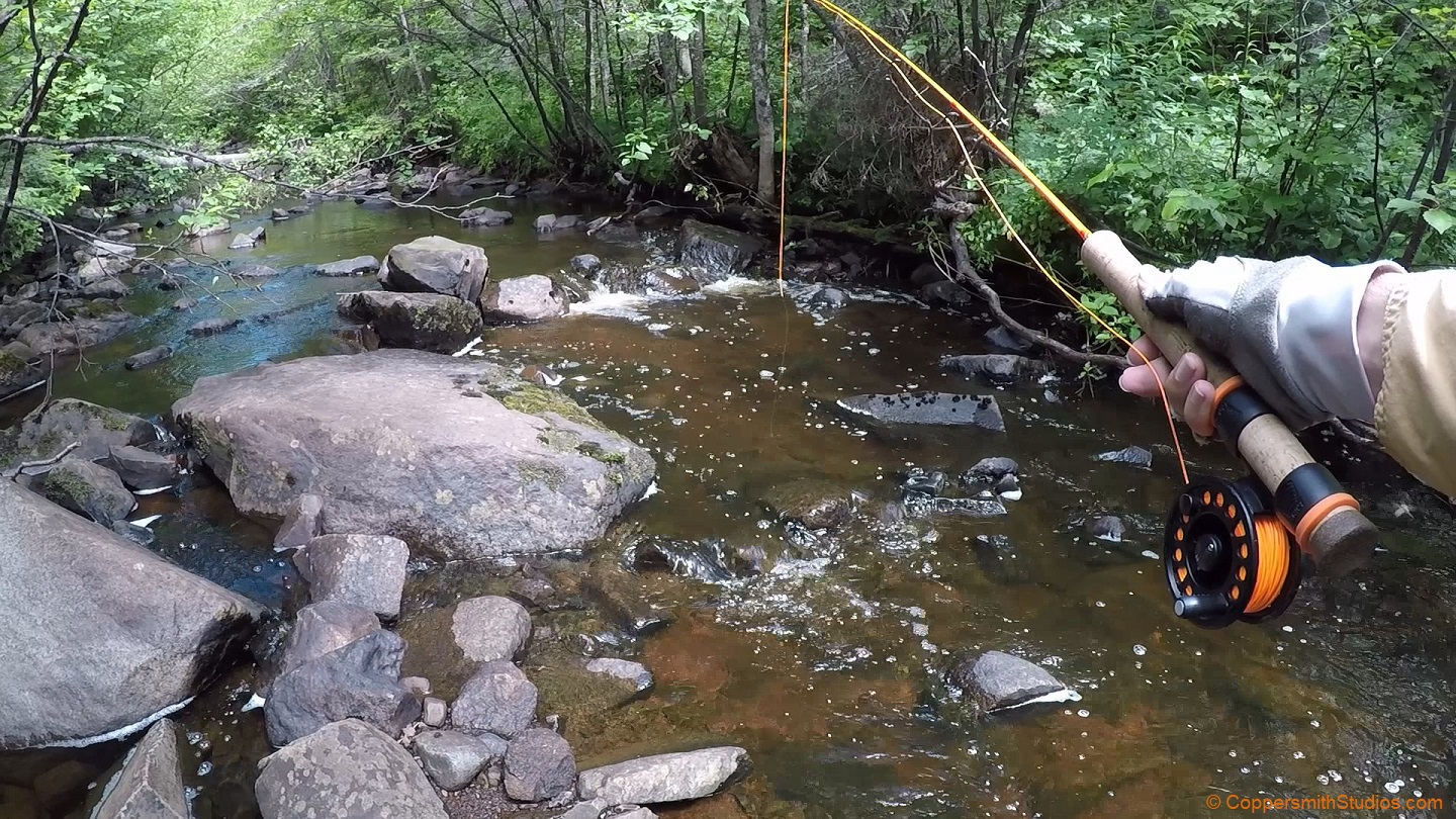 |
WATCH EAST BRANCH SPLIT ROCK RIVER The East Branch of the Split Rock River flows for 14 miles thru Lake County in Minnesota's North Shore area near Lake Superior. The main fish here is the brook trout and they tend to average a bit on the small side from 5 to 7 inches. The river itself is rather small and would be better described as a creek. There are also a few creek chubs present. It would be advisable to fish here during the spring or fall when conditions are cooler. You can still see the volcanic rock from the massive volcano eruptions that formed near by Lake Superior a billion years ago. Since then glacial activity increased the size of the lake. Steelhead from Lake Superior are not able to reach the East Branch Split Rock River. |
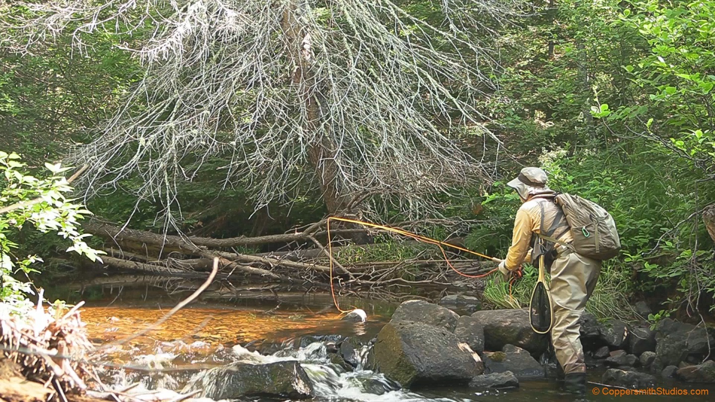 |
WATCH WEST BRANCH SPLIT ROCK RIVER The West Branch of the Split Rock River flows for about 15 miles along Minnesota's North Shore area. It is primarily a brook trout stream with average sizes ranging from 6 to 10 inches. There is leased land along this stream. A barrier falls near Lake Superior prevents salmon and steelhead from moving far up into this stream. |