 |
 |
 |
 |
 |
Stream via PATREON or CLICK BELOW TO PURCHASE.
DVD: How to Fly Fish with a Spinning Rod
DVD: Trout Streams of the Tetons
DVD: Trout Streams of Michigan, U.P. West
DVD: Trout Streams of North Carolina, West
DVD: Trout Streams of Virginia
DVD: Trout Streams of Southwest Wisconsin, North
Send Email to: CoppersmithStudios@gmail.com
Click Here for NORTHERN COLORADO Trout Stream Videos
Click Here for Colorado Trout Stream PICTURES
Don't worry, there are a bunch more videos scheduled to appear in the near future.
Trout Streams of the Conejos Watershed
 |
WATCH_CONEJOS RIVER |
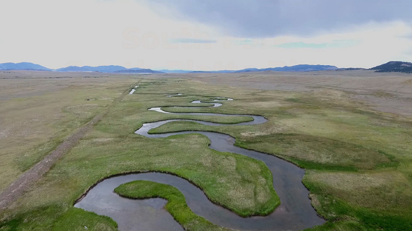
The Conejos River is a 92 mile tributary of the Rio Grande River in South Central Colorado. The first 2 miles of the Conejos are in the San Juan Wilderness. Most people bypass the one mile of canyon like water and focus on the mile of meandering meadow water. However, the canyon water holds more and larger fish. The upper Conejos flows into Platora Reservoir which runs for about 2 miles. The reservoir offers good fishing for trout but a boat is recommended. After the reservoir the Conejos passes thru the small town of Platora which is private and then begins the most popular section as it meanders thru a wonderful meadow area. From Platora down to the South Fork the Conejos is a productive tailwater fishery with good amounts of public access. The forest road following this section only allows parking at designated pull outs. Many of these pullouts become taken by mid- morning, so you will want to start your day here early. These fish are educated and you need a convincing presentation to be effective. I found a #12 soft hackle fly to be effective. Downstream of here there is some canyon water known as the Pinnacles. Larger trout in the 20 inch range can be found there although you should be prepared for rugged terrain and difficult wading. Unfortunately I didn't have time to fish that area. The next area of the Conejos with lots of good fishing is the 4 mile section below Menkhaven Resort. There is a 25' lease for public fishing on both sides of the bank. There are a number of public pullouts along the road and you will often see other cars parked here. The river is considerably larger here but I found wading near the shoreline was still pretty easy. There are a good number of brown and rainbow trout here and they a can be of good size. The Conejos further below this area continues to offer good fishing but most of the access requires membership in the Colorado Anglers Club, of which I am not a member.
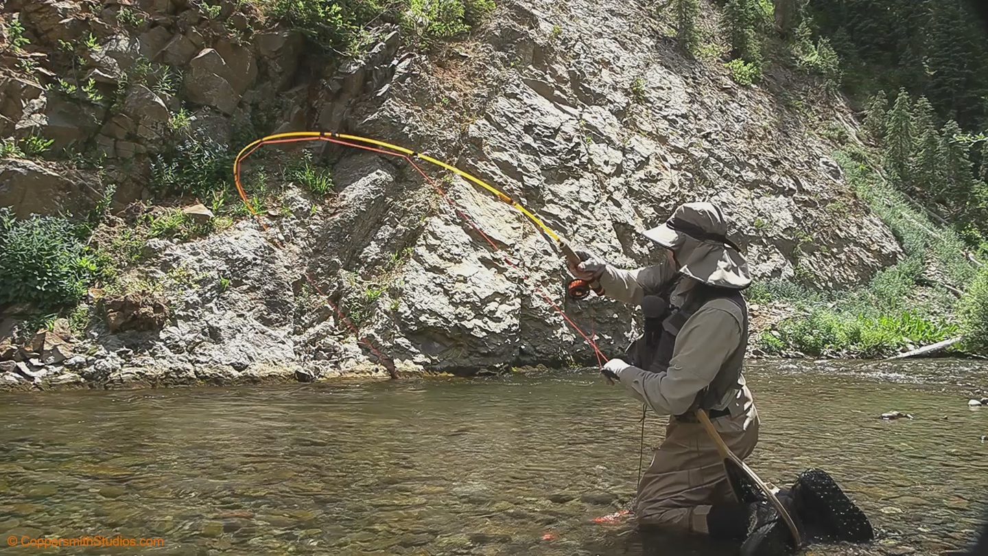 |
WATCH_ADAMS FORK CONEJOS RIVER Adams Fork is a tributary to the Conejos River and Platoro Reservoir in southern Colorado. There is public access at the lower end and trail 713 follows it up or down. Platoro Reservoir is known to have good fishing for trout. |
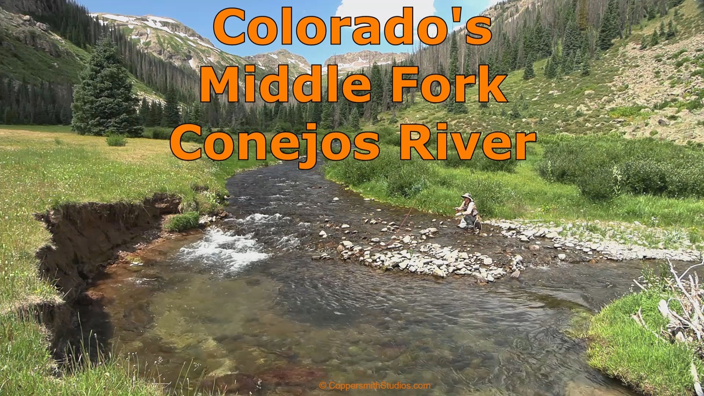 |
WATCH_MIDDLE FORK CONEJOS RIVER The Middle Fork Conejos River is one of 3 tributaries forming the headwaters of the Conejos River in southern Colorado. It's about 6 miles long and holds brook trout and cutthroat trout. To access it you need to park at the Three Forks trailhead and hike 2 miles along the Conejos River thru the San Juan Wilderness. Along the way you may pass up some free roaming cows. |
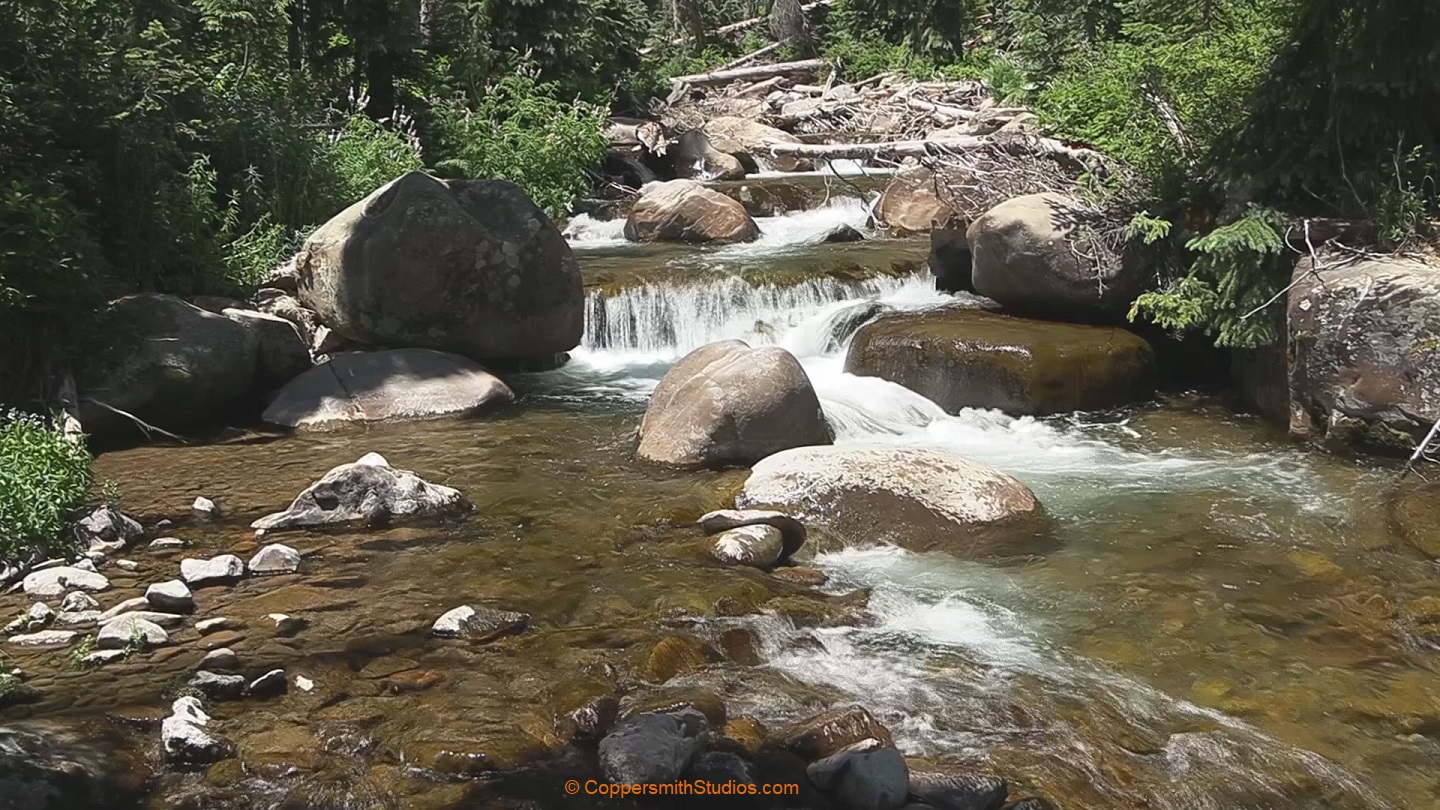 |
WATCH_NORTH FORK CONEJOS RIVER The North Fork Conejos River is one of 3 tributaries forming the headwaters of the Conejos River in southern Colorado. It's about 5 miles long and holds brook trout, brown trout and cutthroat trout. To access it you need to park at the Three Forks trailhead and hike 2 miles along the Conejos River thru the San Juan Wilderness. |
 |
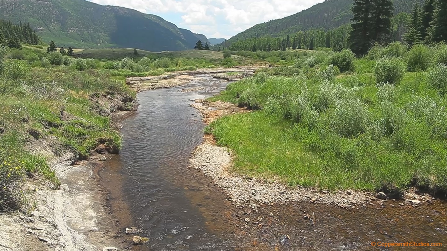
WATCH_SOUTH FORK CONEJOS RIVER The South Fork Conejos River is a tributary to the Conejos River in Southern Colorado. It offers some really good trout fishing. The South Fork flows for 14 miles thru the South San Juan Wilderness. There are several trails that lead to the stream and follow it to its headwaters, although my experience is these trails sometimes disappear so if you want to explore this stream, bring a GPS and be ready for some off trail maneuvers. Due to the canyon like environment and easily erodible terrain fishing here can be dangerous. |
 |
WATCH_LAKE FORK CONEJOS RIVER Lake Fork of the Conejos, not to be confused with Lake Fork of the Gunnison, offers about 6 miles of fishing for a variety of trout species. The first mile flows thru private land but there is parking and a trail to access the rest of the stream in the Rio Grande National Forest. The lower section is dominated by brown trout. Above Rock Lake there is fishing for cutthroat. A couple miles above Rock Lake is Big Lake which also has good fishing. |
 |
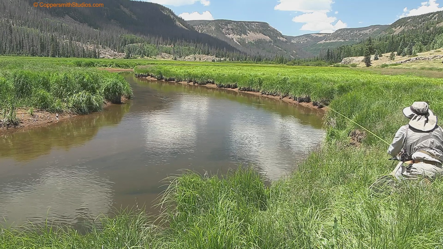
WATCH_EL RITO AZUL El Rito Azul is one of 3 small feeder streams that form the beginning of the Conejos River in southwest Colorado. I believe the name translates from Spanish to mean "the blue rite" and may refer to Blue Lake which is near the source of El Rito Azul. Getting to it is not so easy. You will need to park at the Three Forks TH. Get here early because this area can fill up. You then hike 2 miles through the South San Juan Wilderness. When you reach the Three Forks sign you take a left, which is South, along trial 718. After crossing the Conejos River you will then find the stream. The trail follows the stream for most of its length. |
 |
WATCH_ELK CREEK There are 3 Elk Creeks in Colorado that offer good trout fishing. This Elk Creek is a tributary to the Conejos River in southern Colorado. There is a national forest campground at the lower section and a trail follows it 12 miles to its source. The trail runs near the creek but high up on a ridge. Sometimes you can get down to the water and sometimes you cannot. There is a 1st meadows that is 3 miles from the trailhead and a 2nd meadows that is 7 miles from the trailhead that are known to have good fishing for brown trout. The canyon section of Elk Creek is reported to hold brook, brown and rainbow trout. A lot of the canyon sections I saw looked pretty good. |
Trout Streams of the Gunnison Watershed
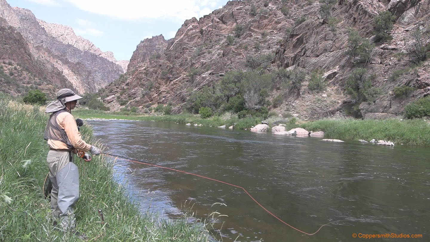 |
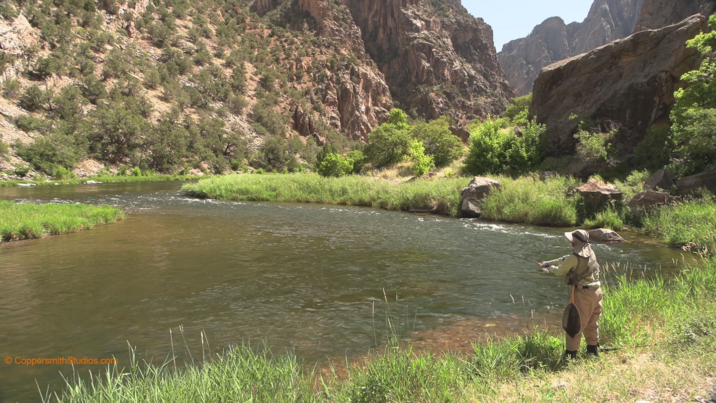
WATCH_GUNNISON RED ROCK CANYON The Red Rock Canyon of the Gunnison River offers great fishing for large trout. You need a wilderness permit to access it and these are difficult to obtain. It is a dangerous hike of 3.5 miles and 1,300' elevation drop to get there. Don't believe the Nation Park Service: There is always a trail and you must find and follow it or you will get stuck or worse. GPS also works and I advise turning it on during the hike in so you can leave a trail marker that may be helpful on your way back out. For addition information see: https://www.nps.gov/blca/planyourvisit/redrockinfo.htm |
 |
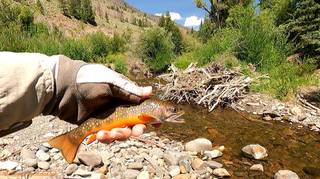
WATCH_GUNNISON WARNER ROUTE The Warner Route to the Gunnison River in Colorado requires a 3.5 mile long hike with a 2,700' elevation change, difficult terrain, high temperatures and a trail that is easy to get lost on. The reward is great scenery and good fishing for large trout, mostly browns with some rainbows. You need to get a permit to hike here from the South Rim visitor center at 6PM the night before. The Black Canyon Gunnison National Park only gives out a limited number per day. While the Warner Route is the most popular with anglers there are 7 other routes and they all offer fishing opportunities. This hike is both difficult and dangerous. For addition information see: https://www.nps.gov/blca/planyourvisit/redrockinfo.htm |
 |
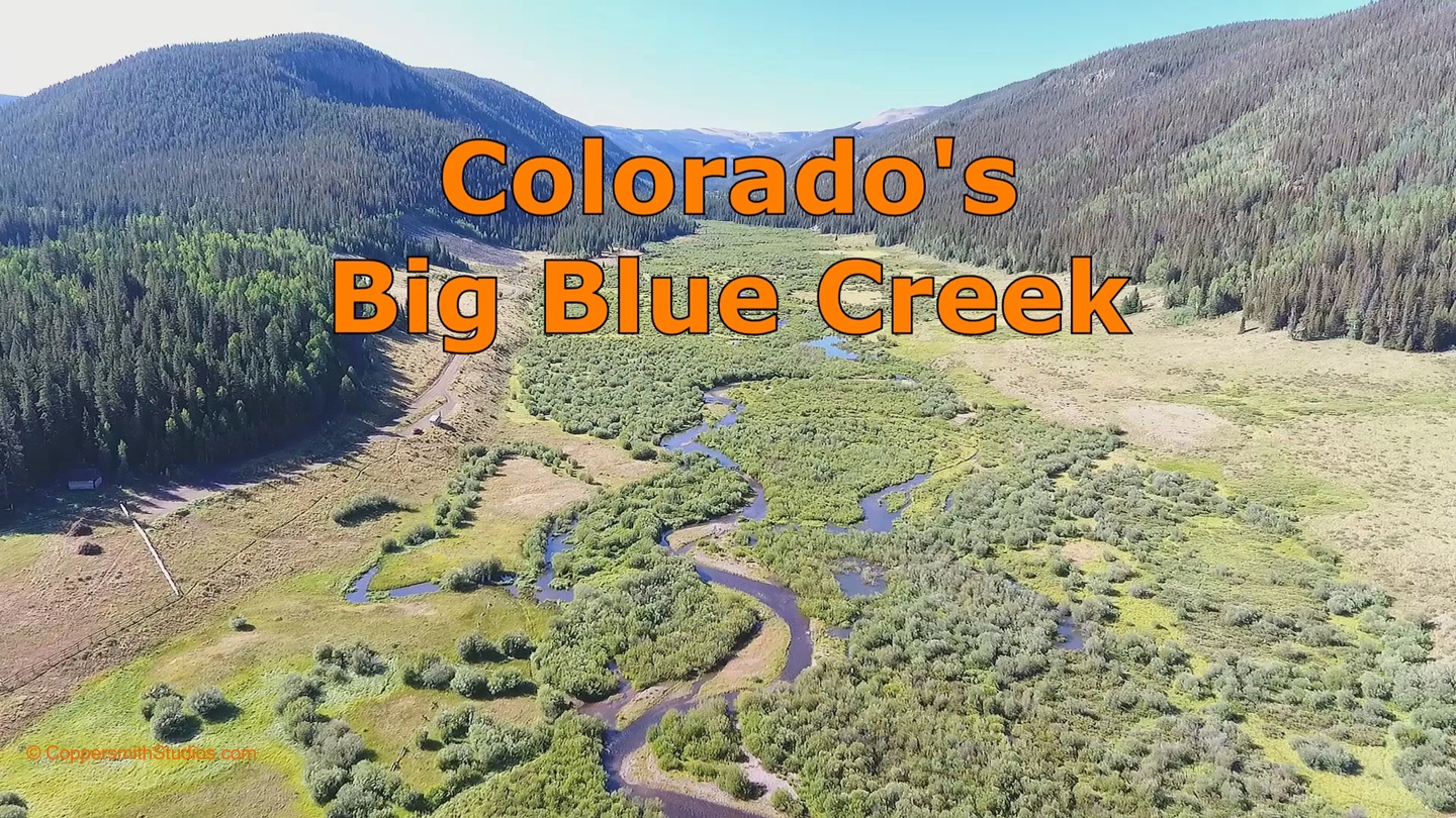
WATCH_BEAVER CREEK Near where Beaver Creek enters the Gunnison River there is a picnic area in the Currecanti Recreational Area. This is followed by several miles of private land and then several miles of public state land. The road ends at a trailhead for a trail that follows Beaver Creek thru the state wildlife area and further beyond offering good access to Beaver Creek. Once you cross into the Gunnison National Forest it is a 3 mile hike to the West Elk Wilderness. From there you can hike along West Beaver Creek for 8 more miles to its source high up in the mountains where cutthroat trout may be found. Accessing the headwater section of Beaver Creek may be done via a separate trail. In short, there's a lot of fishing adventure waiting to be experienced out there. |
 |
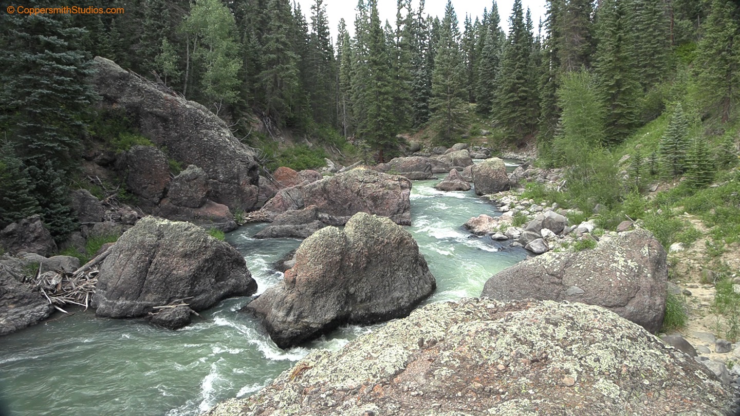
WATCH_BIG BLUE CREEK Big Blue Creek begins at the base of 14,300 foot high Uncompahgre Peak in Colorado's Uncompahgre National Forest. It then flows for 16 miles thru the national forest offering a lot of fly fishing opportunity. The Alpine hiking trail will take you from up near the headwaters down to almost the forest boundary. There are also trails leading to Falls Creek and Soldiers Creek, two smaller streams that also offer trout fishing. Before you decide to head off to Big Blue, consider there is a 12 mile drive over a steep, 1 lane road that is best suited for 4WD vehicles. |
 |
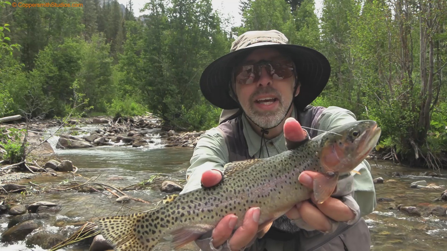
WATCH_UPPER CIMARRON RIVER The Cimarron River is a trout stream and tributary to the Gunnison River in southern Colorado. After the east, west and middle forks converge in Silver Jacks Reservoir the Cimarron flows for 20 miles to the Gunnison River. There are about 6 miles of public land below the reservoir and 2 miles at its lower end. The rest is private. The stream is often fast and carries a heavy load of glacial silt but will produce good action for rainbow trout if you find the right places. |
 |
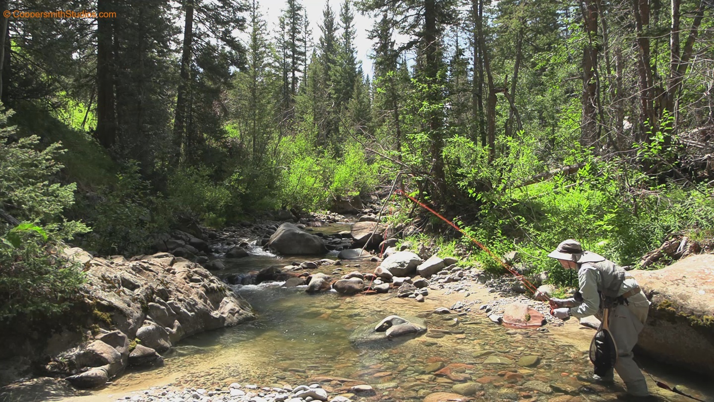
WATCH_EAST FORK CIMARRON RIVER The East Fork Cimarron River is a small trout stream in southern Colorado which meets up with the Middle and west forks to form Silver Jacks Reservoir and then the main Cimarron River. It runs for about 10 miles, and much of that length is thru the Uncompahgre Wilderness. A trail head exists with forest trail 228 following the stream up to its headwaters. Much of the stream is dominated by fast, shallow riffles having limited holding capacity for trout. But every once in a while there will be a good pool, and there you may find an occasional nice fish. The Cimarron valley is full of scenic mountain formations, and many of these can be seen while fishing. |
 |
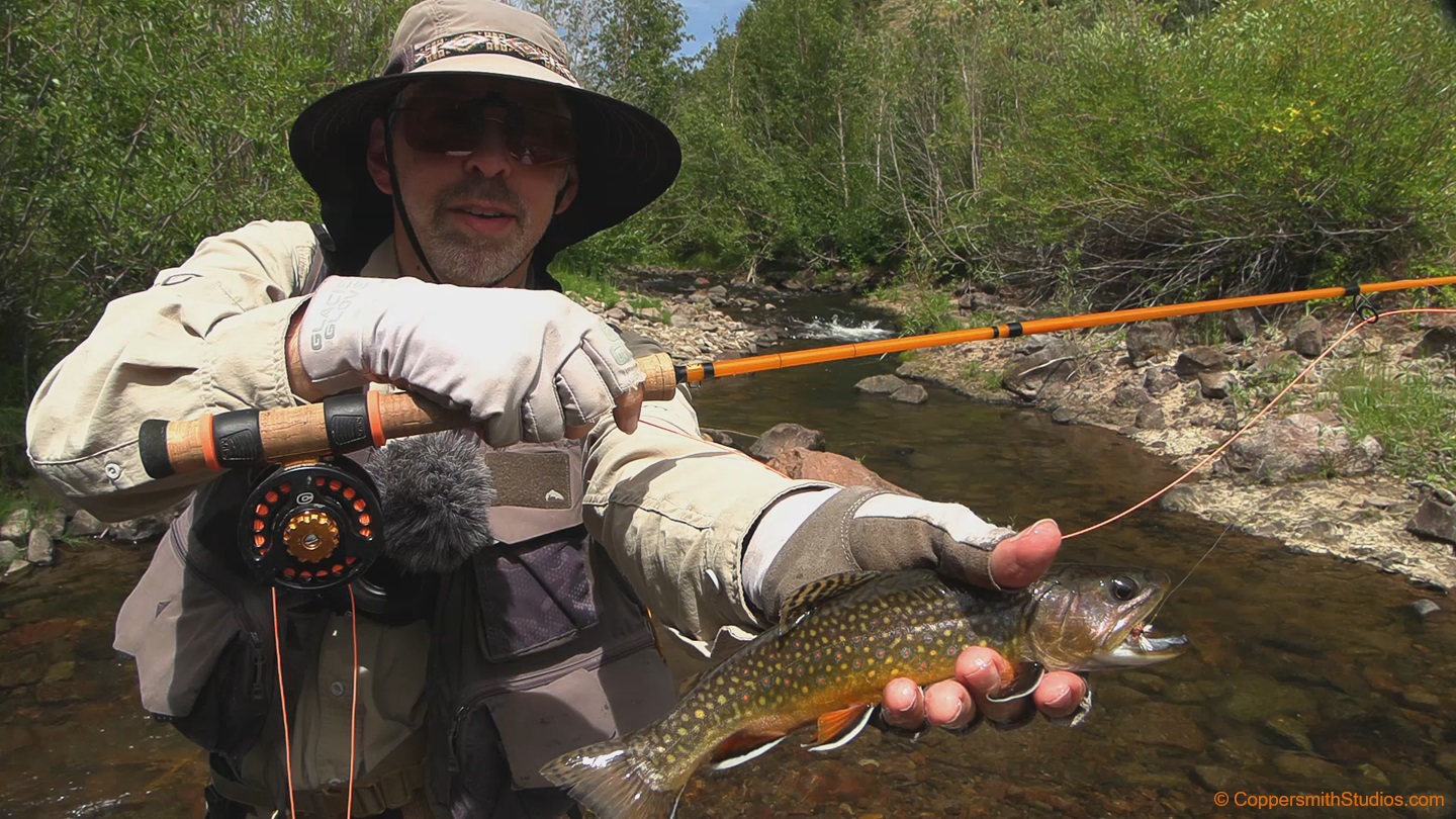
WATCH_WEST FORK CIMARRON RIVER The West Fork Cimarron River is a small trout stream in southern Colorado which meets up with the Middle and East forks to form Silver Jacks Reservoir and then the main Cimarron River. Public access is good, as the stream lies within the Gunnison National Forest and is followed by forest road 858 for 8 miles. Stockings of rainbow trout in Silver Jacks Reservoir has gradually caused a predominance of cut-bows in the lower section of the stream, although I hear there are mostly pure cutthroats in the upper portion of the West Fork. The upper Cimarron watershed is surrounded by scenic mountains and rock formations. |
 |
WATCH_CURECANTI CREEK Curecanti Creek is a tributary to the Gunnison River in Southern Colorado offering good fishing for brook trout. It is 18 miles long and the upper 14 miles run thru the Gunnison National Forest offering much public access. The name Curecanti Creek comes from a 19th century Ute Indian sub-chief who was known to roam this area during the 1860s and 1870s. 4WD forest road 720 follows the creek and there are many opportunities to pull over and sample the fishing. The last 8 miles are followed by a trail to the streams source at Curecanti Pass. |
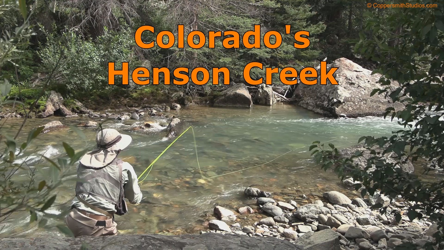 |
WATCH HENSON_CREEK Henson Creek is a tributary to Colorado's Lake Fork Gunnison River and offers 16 miles of fishing for brook trout, rainbows and some brown trout. The most common fish appears to be the brook trout and they have a respectable size. It is followed by a good gravel road for 12 miles. After that you will need a 4WD vehicle to go further. Most of the land along the stream is public but well marked private patches also exist. There are plenty of pull outs along the road, so just pull over at a spot and give it a try. I was fishing in late August and from my viewpoint the current was still pretty strong. |
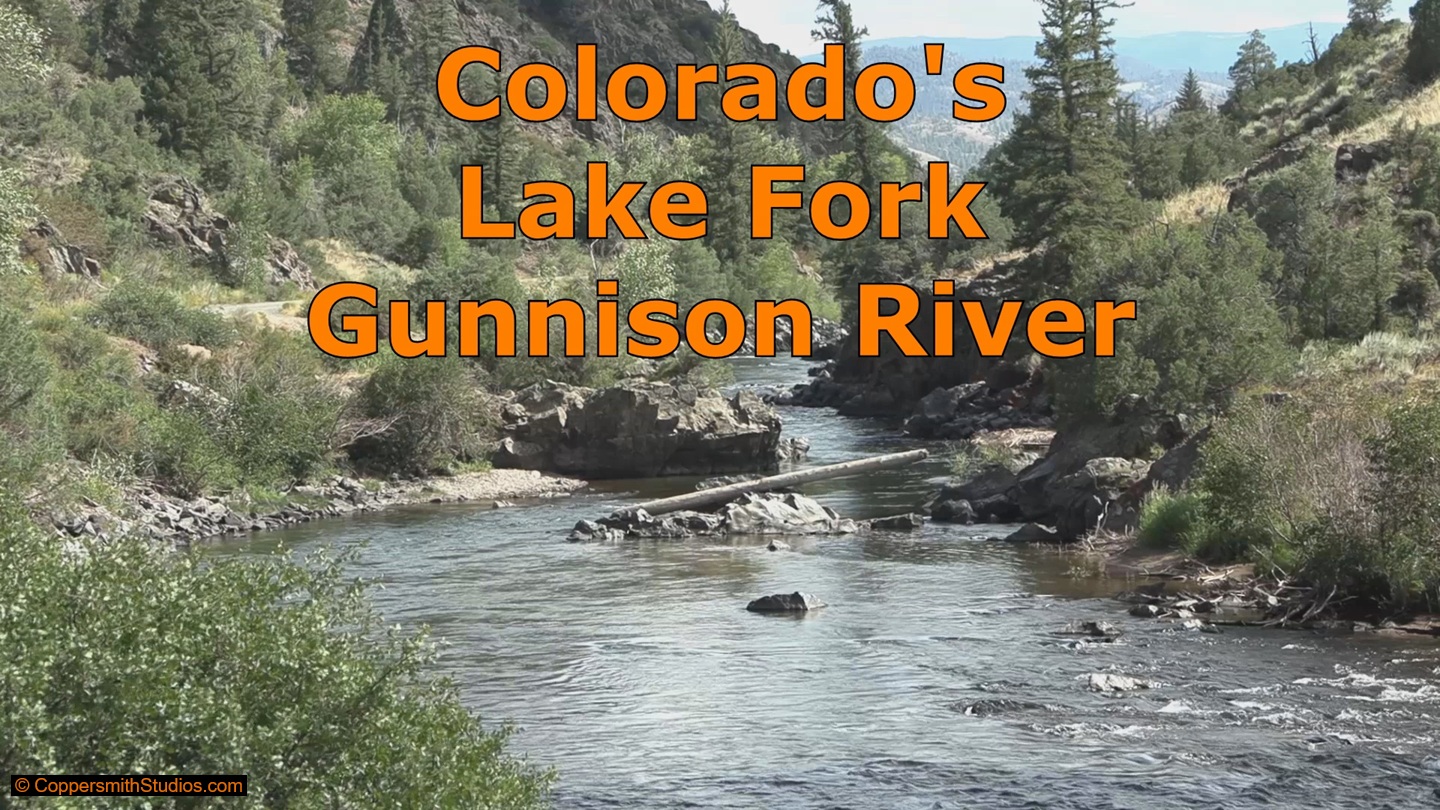 |
WATCH_LAKE FORK GUNNISON RIVER Colorado's Lake Fork of the Gunnison River flows from the South into Blue Mesa Reservoir and offers several public fishing opportunities along the way. On this day I choose to fish the lower section which runs thru Sapinero Canyon. This area is on public BLM land with 2 campgrounds and a gravel road running near by. And yes, I did encounter a few other anglers here, but it was easy to bypass them and find my own section of water. And if you arrive during October you might catch some of the large brown trout that swim up from Blue Mesa Reservoir. |
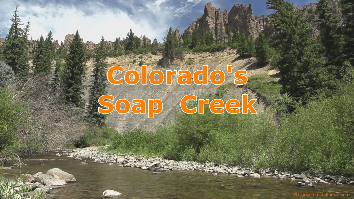 |
WATCH_SOAP CREEK Soap Creek is a small trout stream flowing thru the Gunnison National Forest in southern Colorado. It empties into Blue Mesa Reservoir. Access begins at the Soap Creek campground. Forest road 721 follows upstream for a few more miles and eventually Soap Creek trail follows the remainder of Soap Creek to its headwaters in the West Elk Wilderness. The whole stream is about 15 miles long and offers fishing for brown and rainbow trout in its lower sections and brook trout further upstream. No, the water is not soapy, but the surrounding terrain is very scenic with dramatic cliffs and rock pinnacles present. |
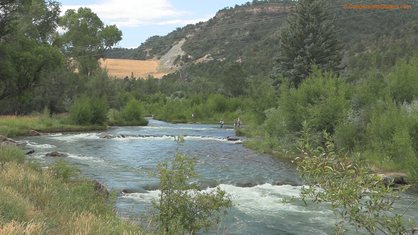 |
WATCH_UNCOMPAHGRE RIVER The Uncompahgre River tailwater flows thru Ridgway State Park in Colorado and offers some very productive trout water. There is a $10 fee to park and fish here. Extensive improvements to trout habitat have been made on the Uncompahgre River mostly in the form of strategically placed boulders. There are only 2 miles of public water, but if you consider the river has two banks that gives you 4 miles of shoreline to fish from. With the bridge and access point in the center of this 2 miles you're never more than a mile from the parking lot. There are 3 main challenges on this river. First, you have to try and find a spot where the current is slow enough for the fish to hold. Second, you have to try to find a spot where no one else is currently fishing. And third, you need to find a fly that will fool the fish because the trout in these waters have received an advanced education from the relentless fishing pressure. Despite these challenges I had good success hooking a couple rainbows and a 16 inch cutthroat. |